
Export Revit
Export Revit
Un modèle Revit natif et géoréférencé de n'importe quel site. Sans plugin.
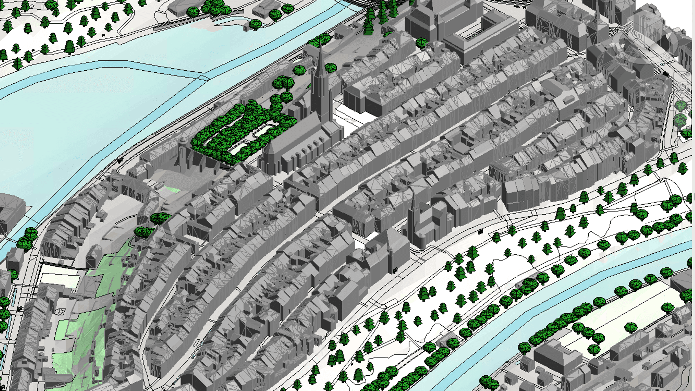
Exportez le contexte du site en .rvt natif, généré par Revit lui-même dans le cloud. Le terrain arrive en Toposolid, les bâtiments et surfaces se rangent dans de vraies catégories Revit avec des paramètres exploitables en nomenclatures — et les coordonnées partagées placent le tout exactement à l'emplacement réel du site.
Revit 2025+Native .rvt
ToposolidShared CoordinatesSchedules
Sans plugin — exportez directement depuis votre navigateur.
Ce qu'il y a dedans
Fichier .rvt natif généré dans le cloud — rien à installer
Bâtiments, routes, eau et végétation dans de vraies catégories Revit
Terrain en Toposolid natif
Image satellite optionnelle drapée sur le terrain
Point de relevé, point de base du projet et nord géographique issus des coordonnées réelles
Paramètres Cityweft sur chaque élément, avec nomenclatures prêtes à l'emploi