How to Get Accurate 3D Site Data Without Google Maps or a Drone Scan
Cityweft is a self-serve platform that generates accurate, design-ready 3D city models for any site in the world, exported directly into the CAD/BIM software you already use (Rhino, SketchUp, Revit, AutoCAD, and more). Instead of relying on outdated open-source map data or a slow, expensive manual drone scan, you select a location, choose your data layers, and export a working file in minutes.
The problem: two bad options for site data
Most people start a site review in Google Maps or Google Earth. It's a good instinct — building masses and facade imagery give you a quick sense of character. But once you need to actually use that site — for massing studies, zoning checks, or infrastructure planning — you need hard, structured data, not a visual reference.
At that point, there are typically two options:
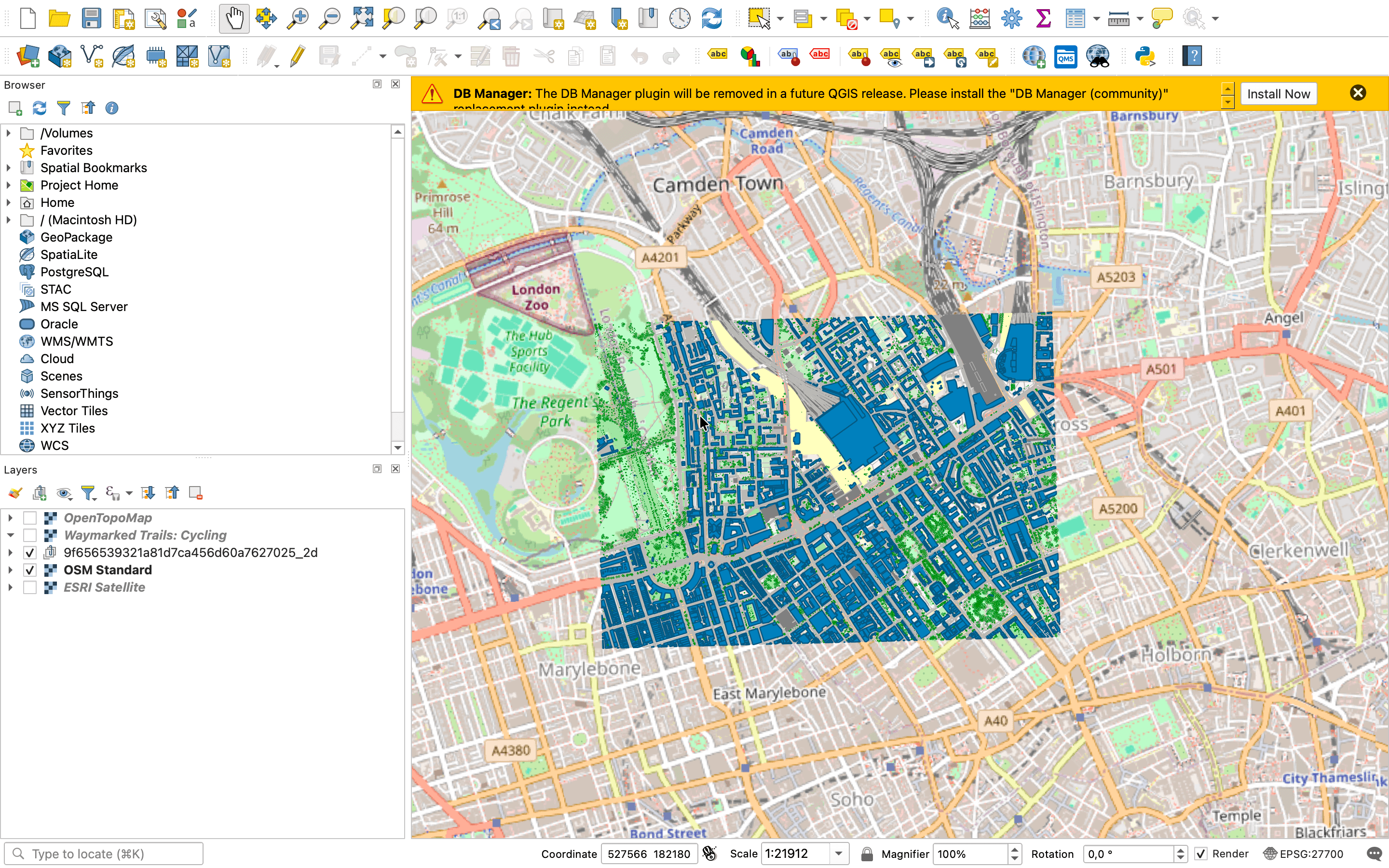
Open-source data (e.g. OpenStreetMap) — free, but often outdated or incomplete
Manual drone scans — accurate, but expensive and can take days to convert into usable geometry
Cityweft is built to sit between these two extremes: accurate like a drone scan, fast and self-serve like an open-source download.
How Cityweft works: 4 steps
1. Select an area
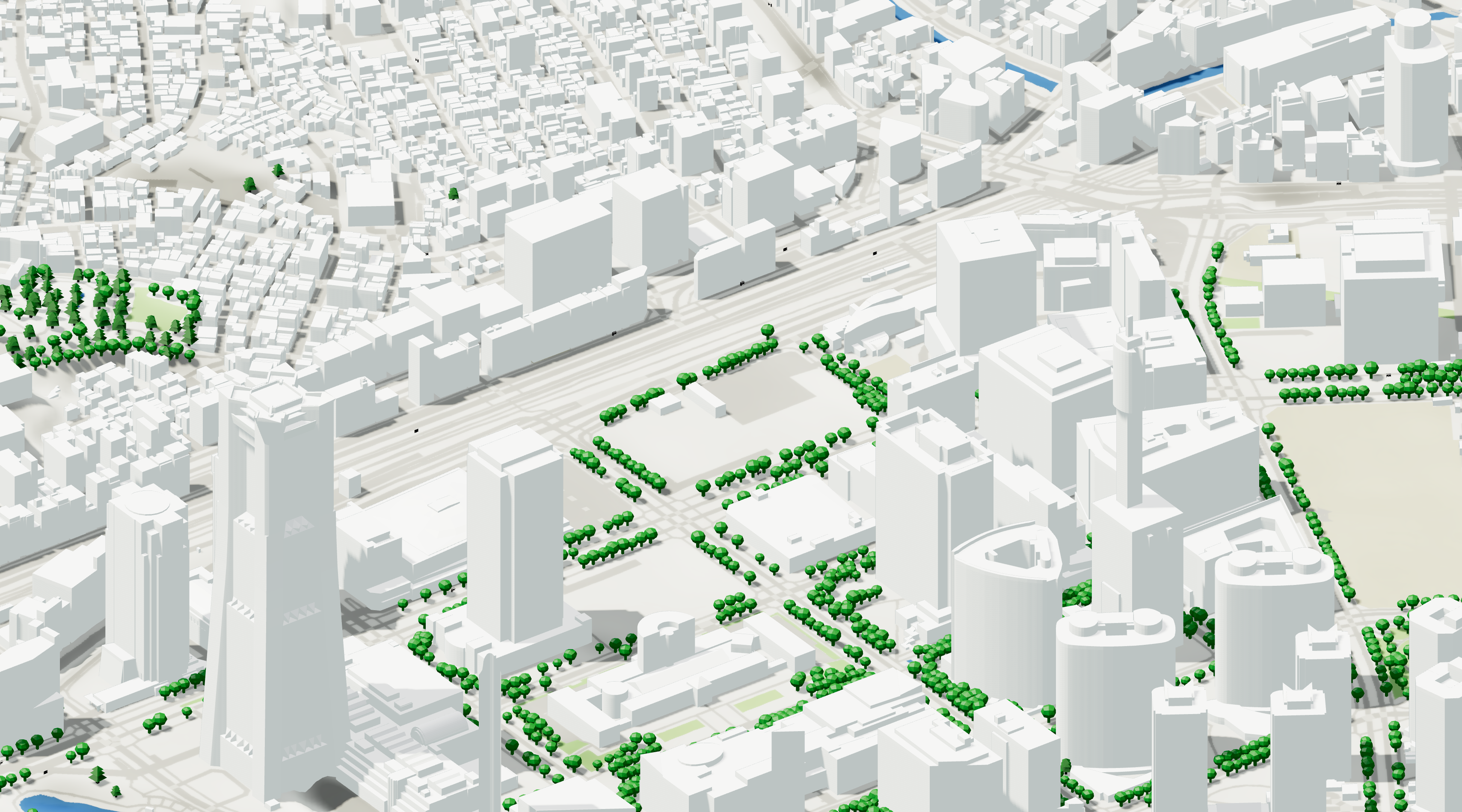
Draw your area of interest on the map and hit preview. The model loads in seconds. Previews are free, so you can see exactly what you'd be buying before committing to an export.
2. Choose your data layers
Turn on only what the project needs — building massing, tree detail, bus stops, benches, topography, and more. An early feasibility study might need massing only. An infrastructure project might need street furniture and accurate tree placement too. You control the level of detail and pay only for what you use.
3. Export in your native format
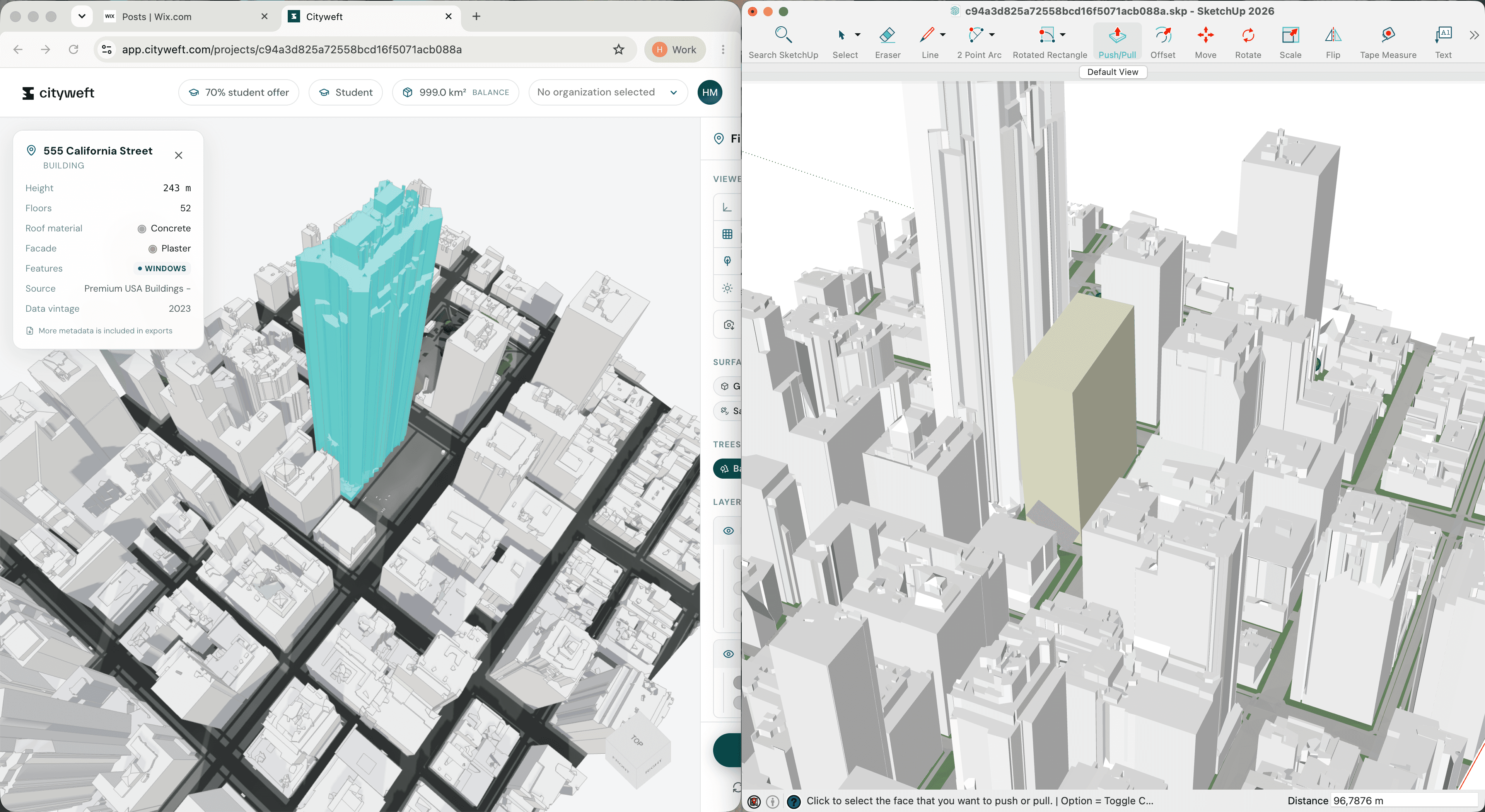
Choose from formats including .skp, .rvt, .3dm, .dxf, .obj, .gltf, .ifc, .stl, .dae, and .ply, then export. The model generates in under a minute — compared to the days a manual scan-to-model workflow can take.
4. Open it and start working
Because the export is native to your existing software (Rhino, SketchUp, Revit, AutoCAD, ArchiCAD, Vectorworks, Blender, Autodesk Forma), there's no cleanup step. Files are organised the way a designer would organise them — editable components, sensible layers — so you can start designing immediately instead of tidying geometry.
Cityweft vs Google Maps: accuracy comparison
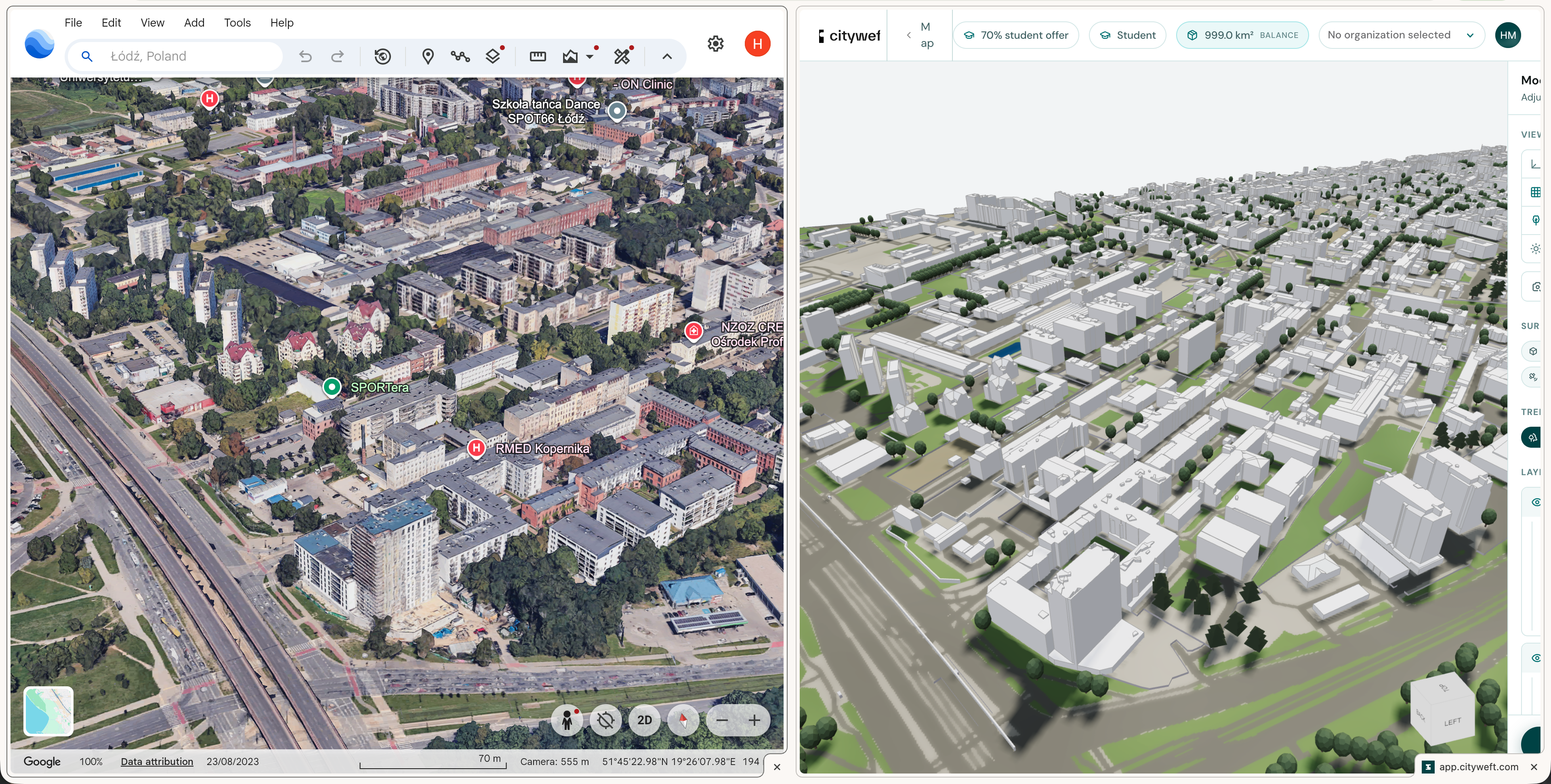
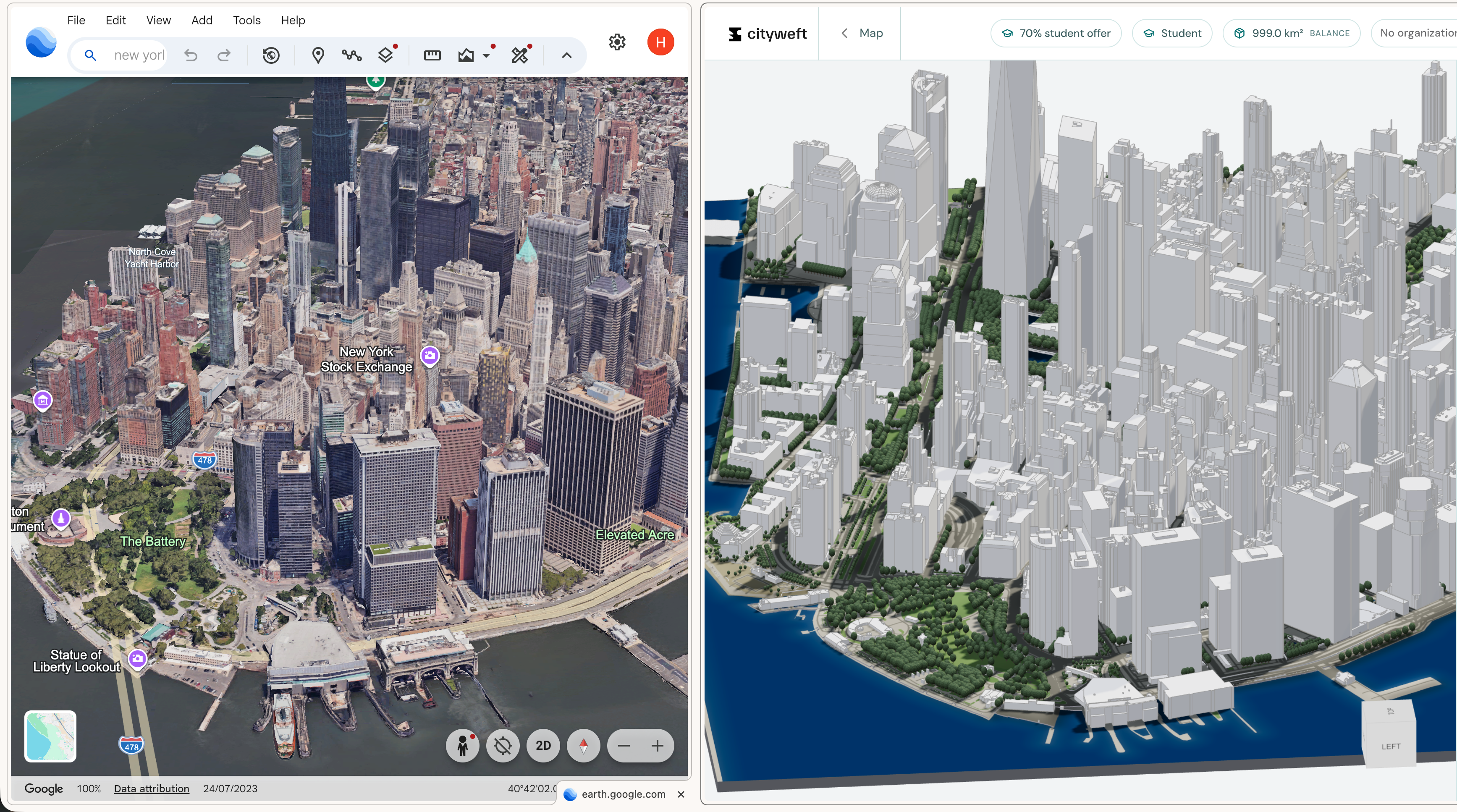
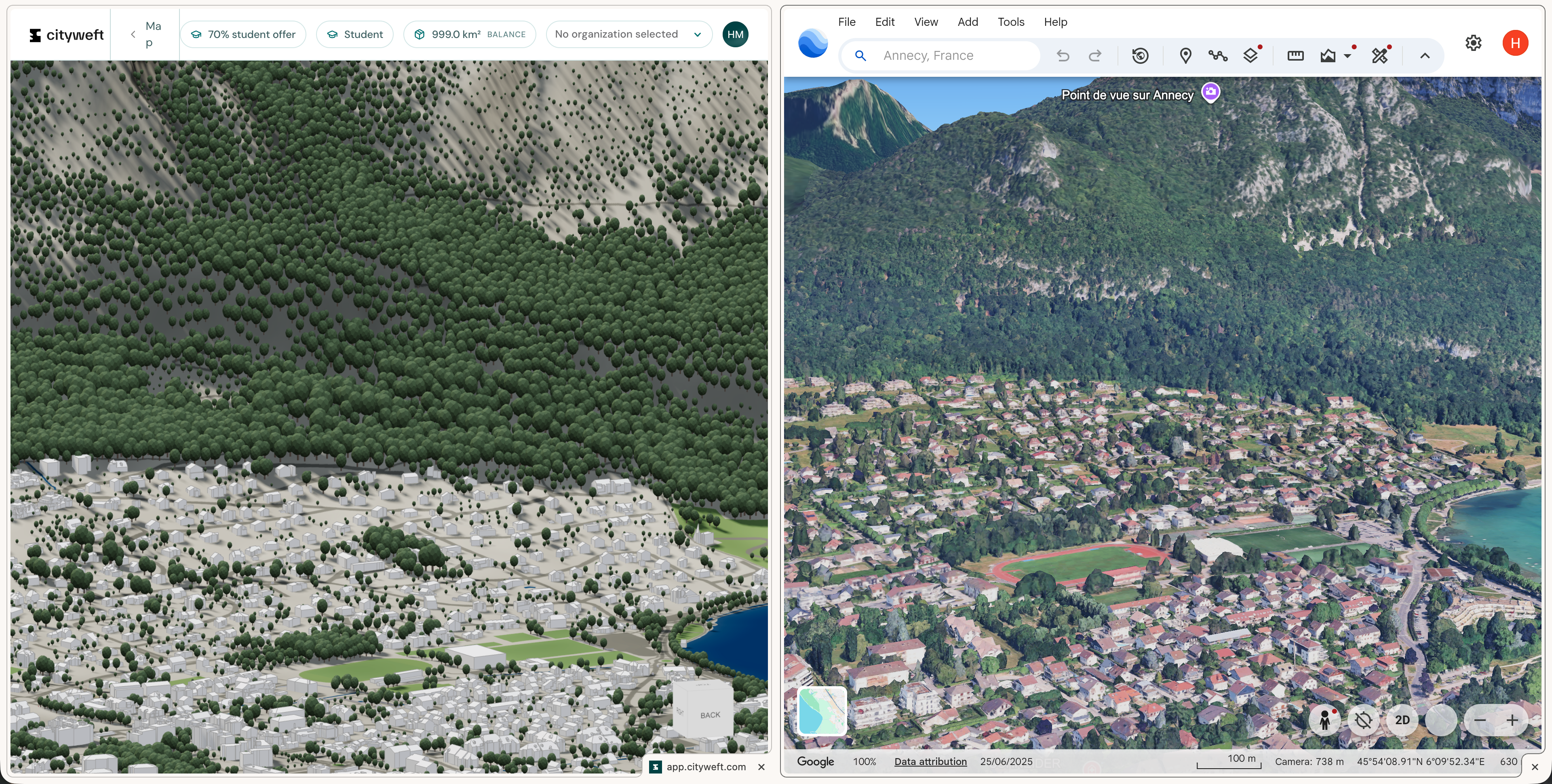
Cityweft has published side-by-side comparisons against Google Maps imagery for several cities, including Łódź (Poland), Manhattan (New York, USA), and Annecy (France). Across these comparisons, Cityweft's exported data is consistently as accurate as, and in several cases more detailed than, what's visible in Google Maps — with the added benefit of being delivered as editable, layered 3D geometry rather than static imagery.
FAQ
What is Cityweft? Cityweft is a self-serve 3D city modelling platform that generates accurate, design-ready 3D models for any site in the world, exported directly into formats used by architecture, planning, and design software.
How is Cityweft different from Google Maps or Google Earth? Google Maps and Google Earth are good for a visual first look at a site, but they don't provide structured, editable 3D data. Cityweft delivers that data — building geometry, terrain, trees, and infrastructure — in an editable format ready to use in CAD/BIM tools.
How is Cityweft different from OpenStreetMap (OSM)? OpenStreetMap is free but often outdated or incomplete in coverage. Cityweft provides more current, higher-detail geospatial data through a paid, self-serve export.
How long does it take to get a 3D model from Cityweft? Previews load in seconds. A full export, once you've chosen your data layers and format, typically takes under a minute — compared to days for a manual drone scan-to-model workflow.
What file formats does Cityweft export to? Cityweft supports .skp, .rvt, .3dm, .dxf, .obj, .gltf, .ifc, .stl, .dae, .ply, GeoJSON, and more, so exports work natively in Rhino, SketchUp, Revit, AutoCAD, ArchiCAD, Vectorworks, Blender, and Autodesk Forma.
Is Cityweft free to try? Previewing a site is free. You only pay when you export a model. Pricing starts from €30 for a single export, with bundles and subscriptions available for studios, and discounted access for students.
What data layers can I choose from? Layers include building massing, detailed roof geometry, trees, terrain/topography, bus stops, benches, and other street furniture. You select only the layers relevant to your project stage — a feasibility study might need massing only, while an infrastructure project might need full street-level detail.
Where does Cityweft's data come from and how accurate is it? Cityweft sources and processes geospatial data to deliver design-ready geometry, with premium high-detail coverage in the USA, Spain, England, Poland, France, the Netherlands, Denmark, Norway, Canada, Germany, and Japan, and coverage across 200+ countries overall. Published comparisons against Google Maps imagery show Cityweft's data is generally consistent with or more detailed than what Google Maps shows.
Try it yourself
Cityweft is the fastest way to get accurate, editable site data in the format you already work in. Previewing a site is free — the easiest way to see the speed is to try it on your next project.