Przejdź do treści
Cityweft
Otwórz
Blog

Najnowsze wpisy

Aktualizacje produktu, pogłębione spojrzenie na pipeline i historie zespołów AEC korzystających z kontekstu 3D terenu.

26 sie 20263 min. czytania

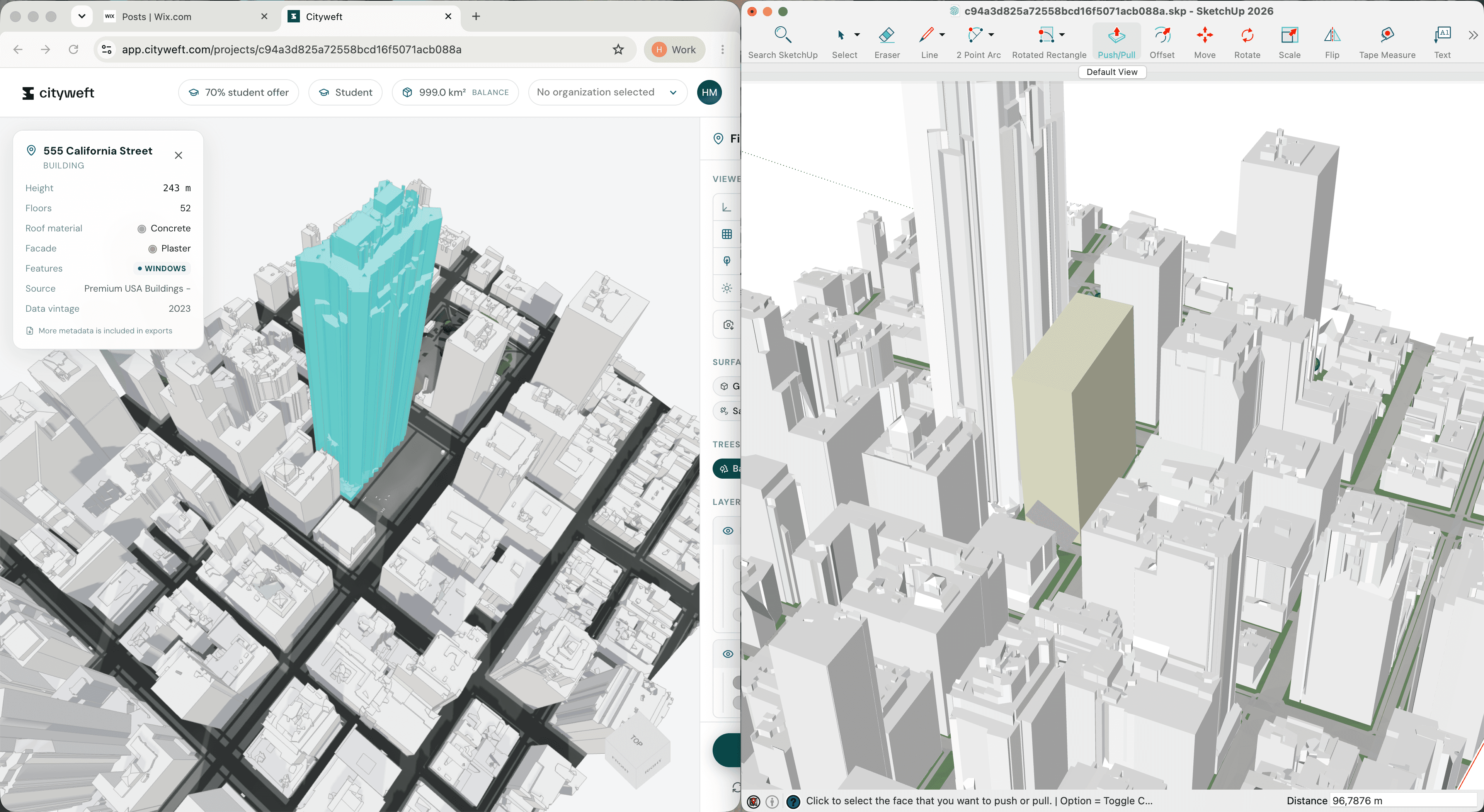
Cityweft models in QGIS: a complete GIS workflow

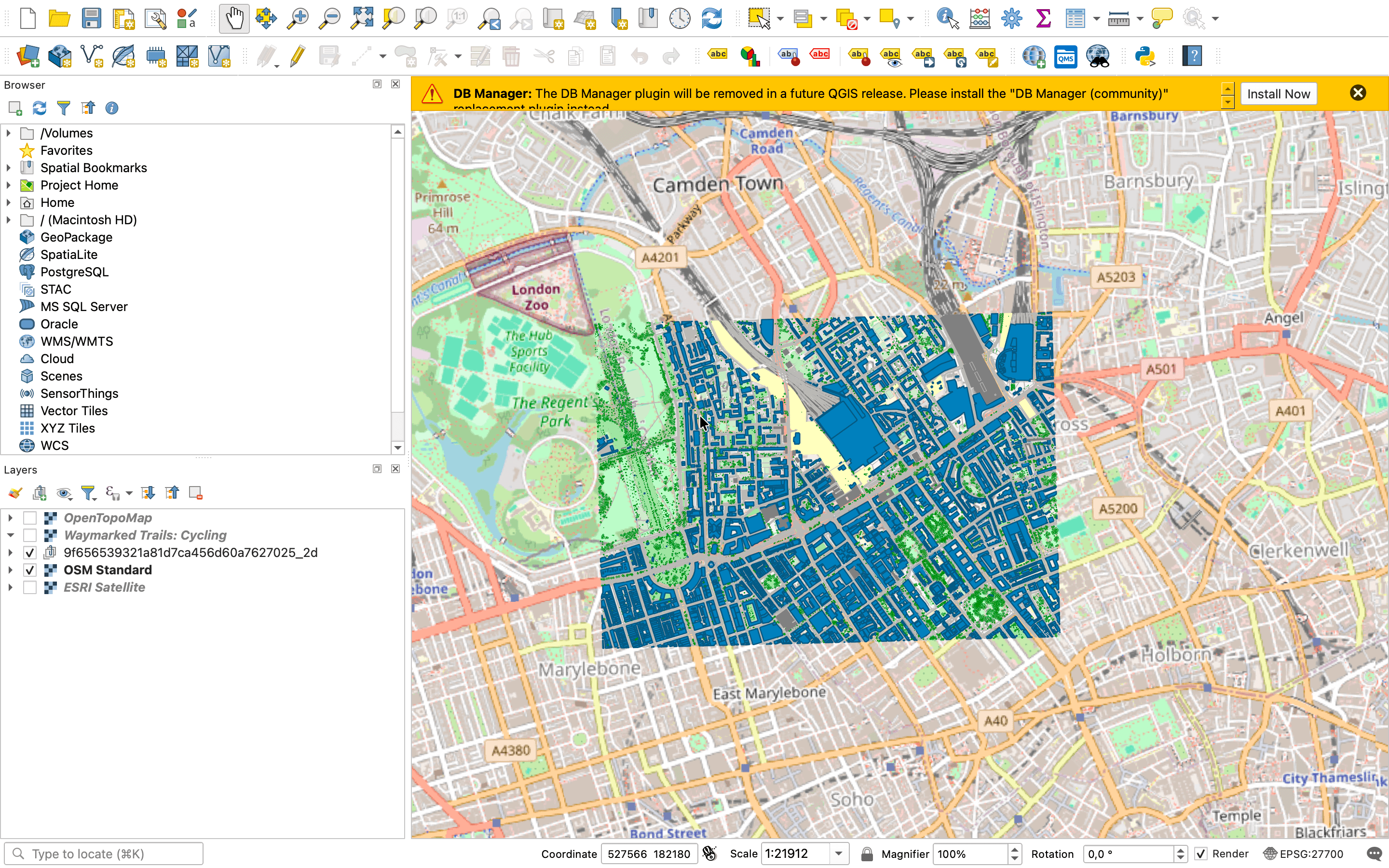
Cityweft has just upgraded its coordinate system options, and it's a pretty big deal for GIS work. In this post we'll walk through the process of bringing Cityweft data into QGIS. Spoiler alert: this update might be a game changer for your GIS work. If you're an architect, a property developer, or a city planner, this may be a familiar scenario. Project turnarounds are quick, access to proper 3D data is limited, and it's hard to narrow down the right site.

Czytaj więcej
21 sie 20264 min. czytania

How to choose a development site in 20 minutes: a 9-site case study with Cityweft and SketchUp

You've got nine potential sites for your next residential development, and twenty minutes to pick the best one. Where do you start? If you're an architect, a property developer, or a city planner, this may be a familiar scenario. Project turnarounds are quick, access to proper 3D data is limited, and it's hard to narrow down the right site.

Czytaj więcej
18 sie 20262 min. czytania

From Google Maps to Usable Data: A Cityweft Walkthrough

Where do you go for a first look at a site? Probably Google Maps. But the second you need real data — for massing studies, zoning, or infrastructure planning — Maps stops being useful. Your options become outdated OSM data or an expensive multi-day drone scan. Cityweft sits between the two: pick your area, choose your data layers, export straight into Rhino, SketchUp, or Revit. No cleanup, no waiting. Just accurate site data, in minutes.

Czytaj więcej
9 cze 20264 min. czytania

The First Sketch is Not the First Step

Architectural design begins long before the first sketch. This article explores the role of site analysis in shaping strong design concepts, from understanding the project brief and building site context to identifying constraints, environmental conditions, surrounding urban character, and movement patterns. By analysing a site before beginning design work, architects can uncover opportunities, make more informed decisions, and create proposals that respond meaningfully to their context.

Czytaj więcej
15 maj 20263 min. czytania

Why Interoperability Matters More Than Ever in AEC Workflows

Cityweft recently attended NXTBLD in London to discuss interoperability, AI, and the future of AEC workflows. While much of the industry conversation is focused on new AI tools, we believe the bigger challenge is creating better-connected workflows across the software architects and urban designers already use every day. Here’s what we learned about interoperability, collaboration, and reducing friction in practice.

Czytaj więcej
13 kwi 20263 min. czytania

Japan Nationwide LOD2 Building Data | Cityweft 🇯🇵

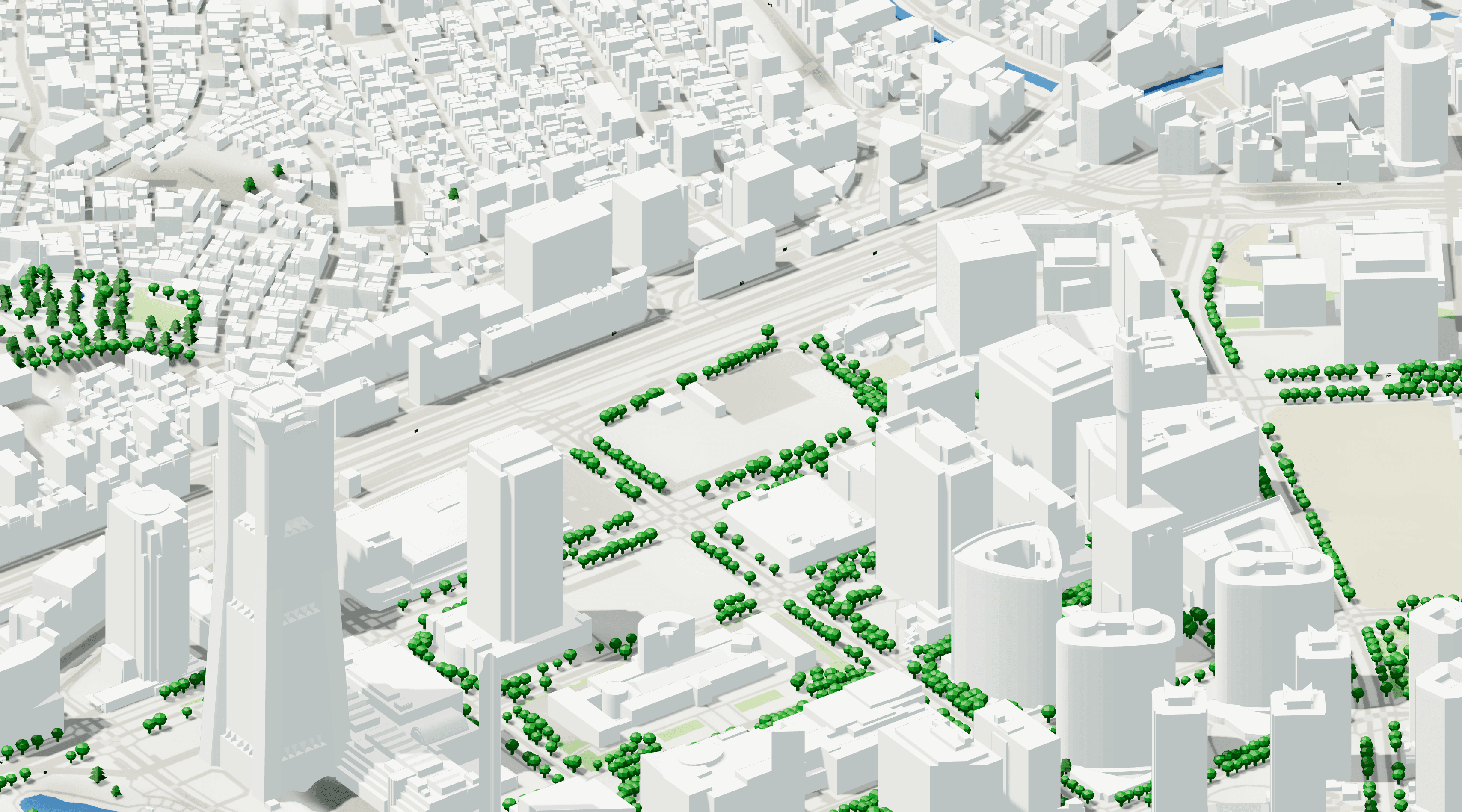
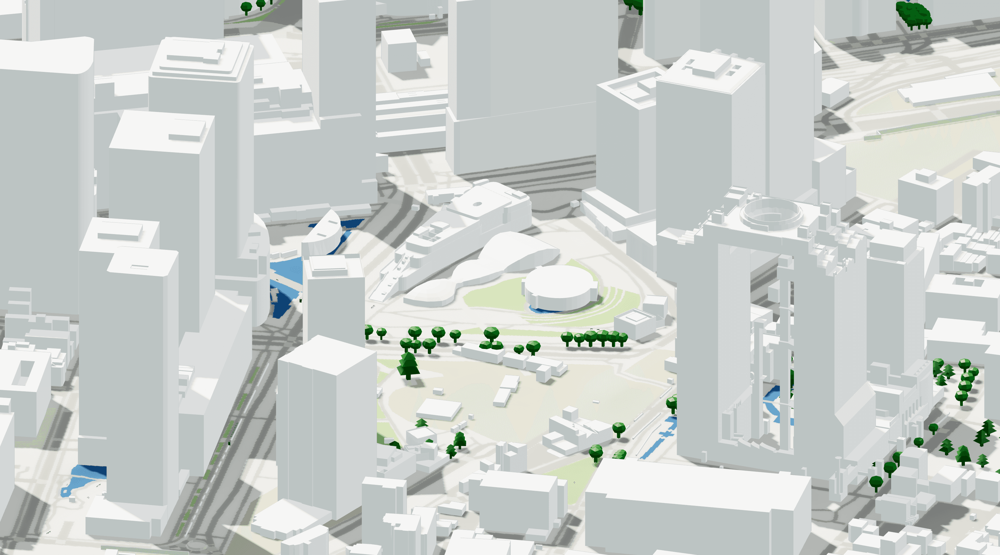
Cityweft now offers nationwide LOD2 3D building data for Japan, covering ~26.8 million buildings across 266 datasets. Generate accurate 3D city models for Tokyo, Osaka, Yokohama, Kyoto, and more with detailed roof geometry and building heights. Export ready-to-use models for architecture, planning, visualization, and digital twins via the Cityweft platform, plugins, or API.

Czytaj więcej
2 kwi 20263 min. czytania

Introducing: A Cityweft Plugin for SketchUp

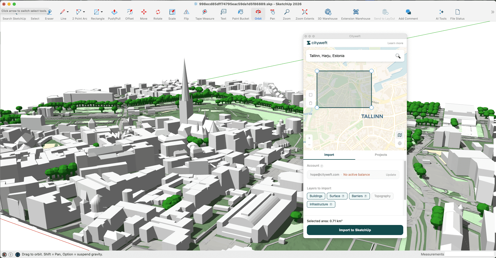
The Cityweft SketchUp Plugin lets architects import 3D site, context, and city models directly into SketchUp. Fully editable and layered, models integrate seamlessly into projects, enabling real-world context, massing studies, and early-stage design without leaving SketchUp. Quickly search, select, and generate accurate city models to speed workflows and improve architectural decisions.

Czytaj więcej
18 mar 20264 min. czytania

Georeferencing in Cityweft: an early step toward smoother BIM coordination

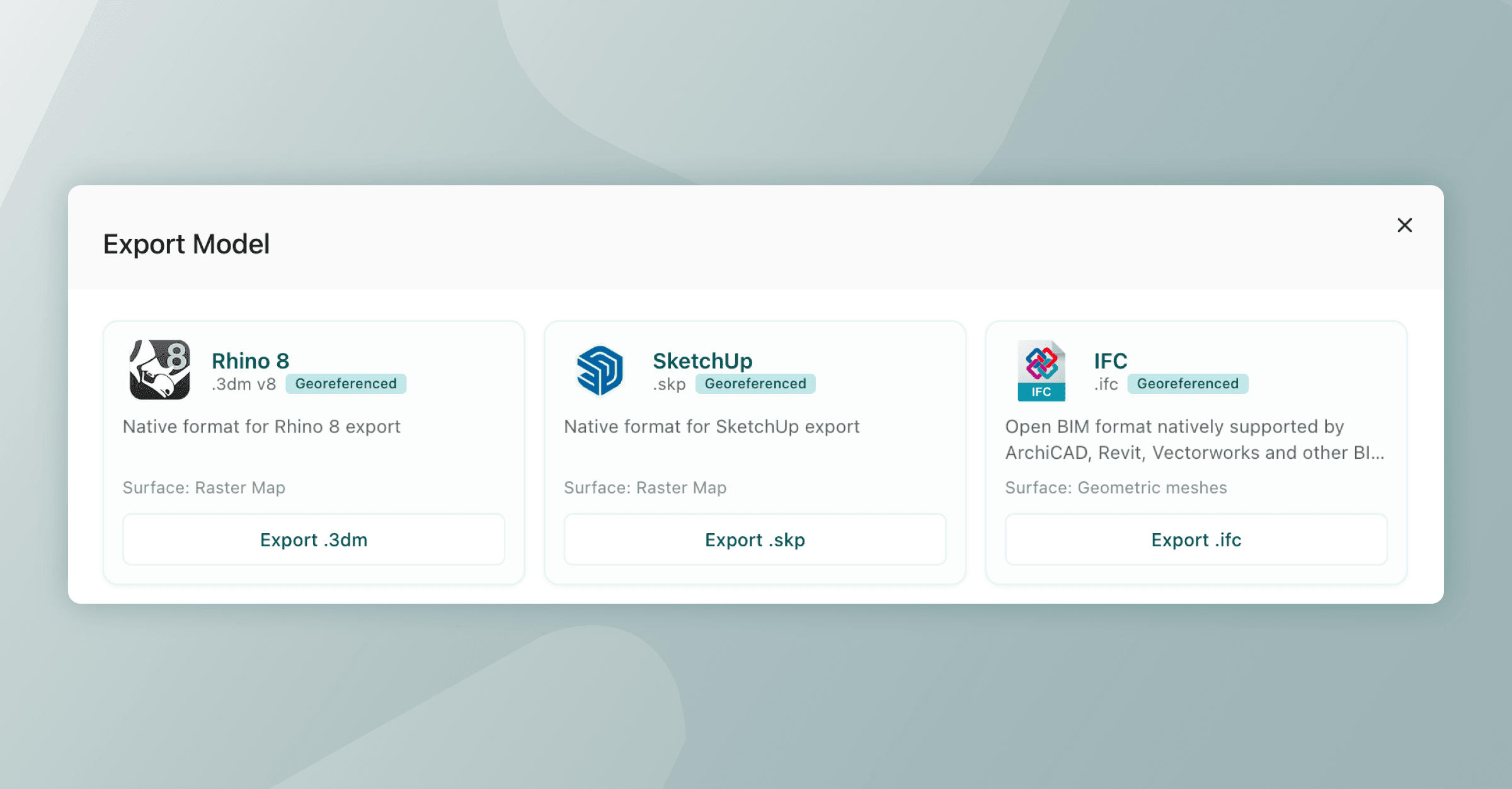
Georeferencing in Cityweft helps architects and design teams align BIM models with real-world coordinates, reducing coordination errors, misalignment, and time spent fixing clashes. By embedding WGS84-based location data while keeping models lightweight, it enables smoother collaboration across disciplines and more reliable BIM workflows.

Czytaj więcej
5 mar 20264 min. czytania

Germany Nationwide LOD2 Building Data | Cityweft 🇩🇪

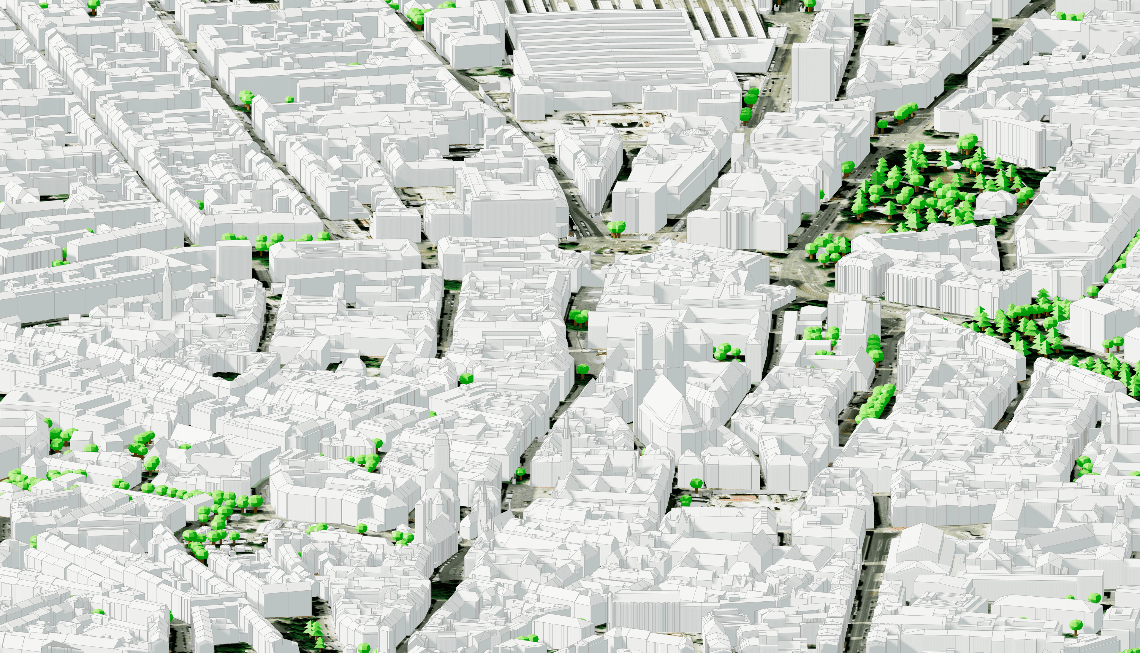
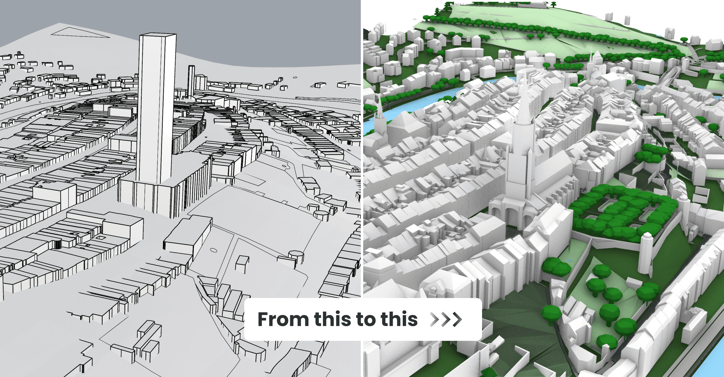
Cityweft now includes nationwide LOD2 3D building data for Germany, aggregated from official German state geospatial authorities. Generate detailed, high-accuracy city models with realistic roof geometries and building heights, improving urban context for design, planning, and analysis. The dataset is available across the Cityweft platform, plugins, and API, enabling a seamless workflow for projects anywhere in Germany. 🇩🇪

Czytaj więcej
23 lut 20262 min. czytania

New Surface Modes in Cityweft: More Control, More Clarity, Better Context

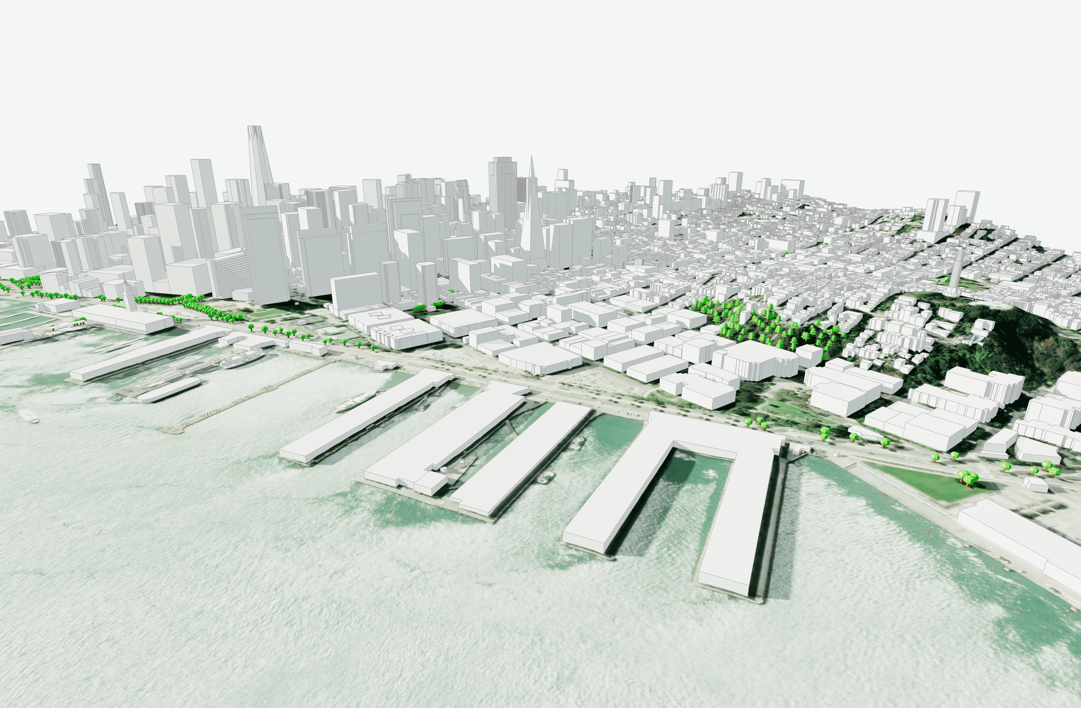
Cityweft Model from San Francisco with Raster Map and Satellite Surfaces 3D buildings are essential for understanding a site, but they are only part of the story. To truly understand how structures interacts with its surroundings, you also need to understand the ground it sits on. Surfaces influence how people move, how buildings relate to streets and landscapes, and how projects affect mobility, accessibility, and the urban environment around them. With our latest update, Cityweft expands...

Czytaj więcej
26 sty 20262 min. czytania

Cityweft x Graphisoft: Bringing Local Context into a New Era of Design Intelligence

We’re excited to announce a new collaboration between Cityweft and Graphisoft , focused on bringing accurate, real-world site context directly into Graphisoft’s next-generation design intelligence tool. Together, we’re working to help architects make smarter, more confident decisions - from early feasibility through to delivery - by ensuring that buildings and topography are not add-ons, but a natural starting point for design. Grounding design in real context Graphisoft’s new tool expands...

Czytaj więcej
19 sty 20262 min. czytania

Data Update Norway 🇳🇴: New National LiDAR Building Data

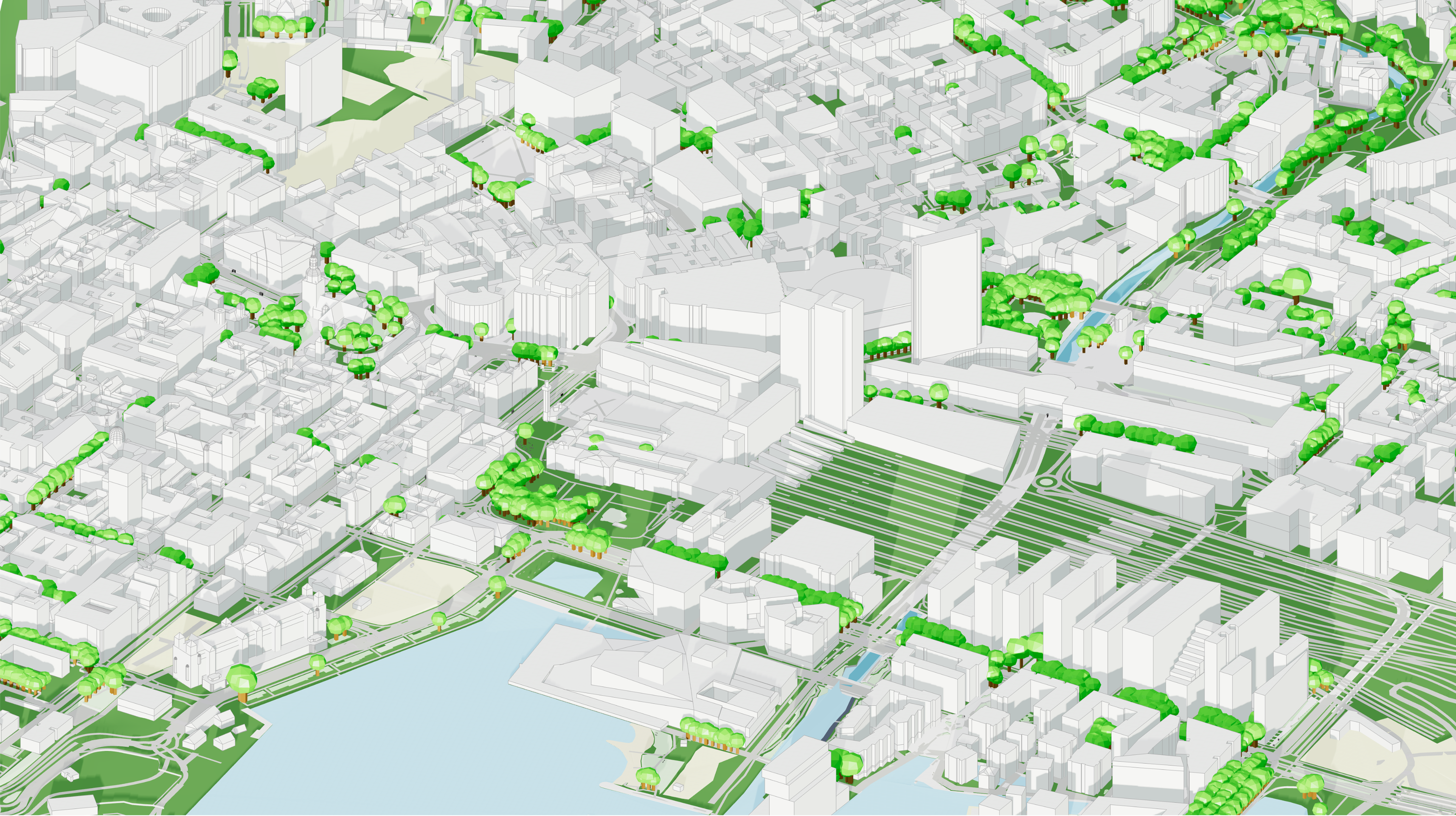
Cityweft provides a nationwide dataset of 3D building heights for England based on high-precision airborne LiDAR data collected by the UK Department for Environment, Food & Rural Affairs (DEFRA) between 2022 and 2025. Building heights are measured from real elevation data, not inferred estimates. Coverage includes urban and rural areas and supports architectural design, urban planning, environmental analysis, and simulation via Cityweft’s platform, plugins, and API.

Czytaj więcej
19 sty 20263 min. czytania

Data Update Canada 🇨🇦: New National LiDAR Building Data

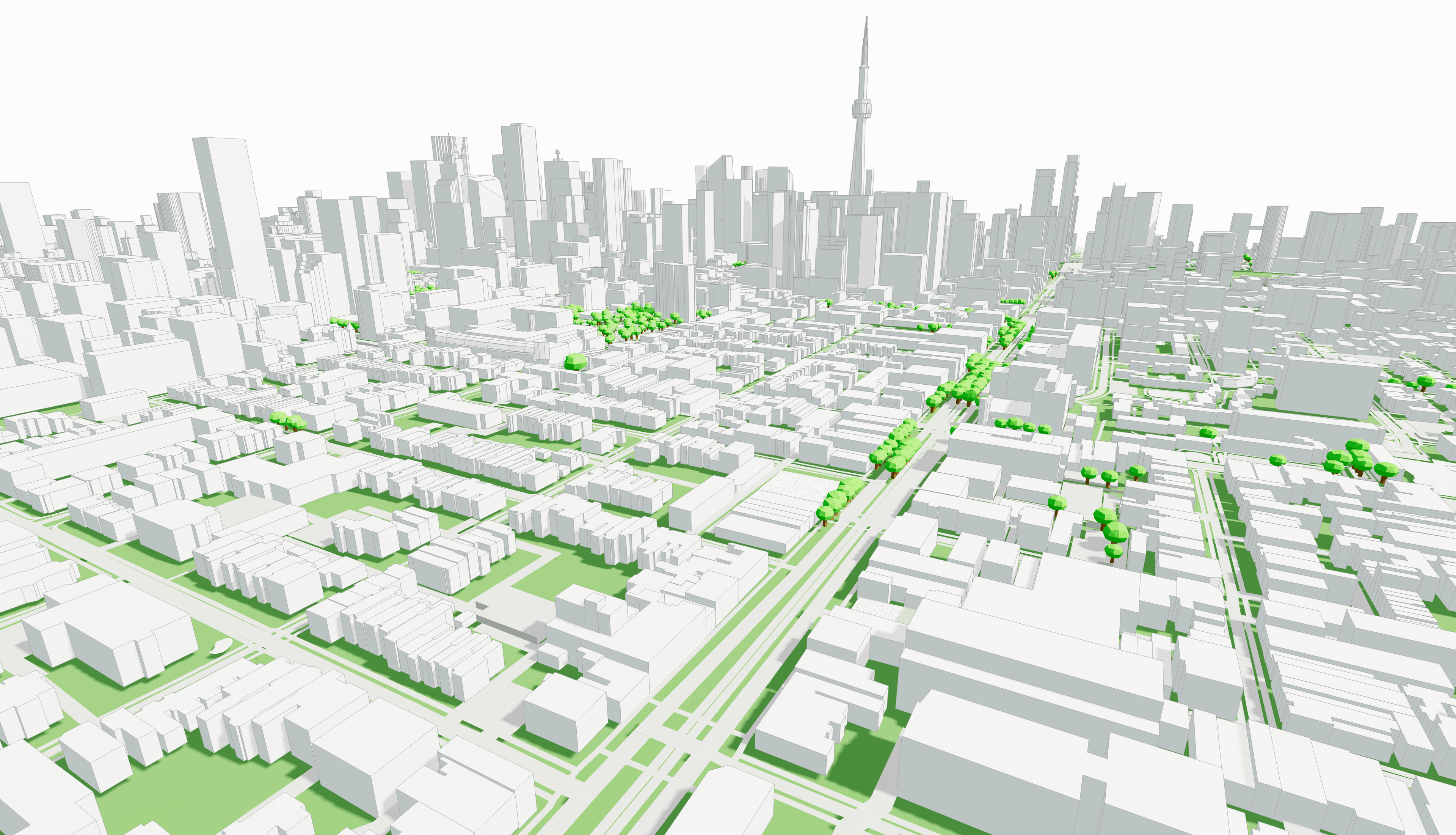
Cityweft provides a nationwide dataset of 3D building heights for England based on high-precision airborne LiDAR data collected by the UK Department for Environment, Food & Rural Affairs (DEFRA) between 2022 and 2025. Building heights are measured from real elevation data, not inferred estimates. Coverage includes urban and rural areas and supports architectural design, urban planning, environmental analysis, and simulation via Cityweft’s platform, plugins, and API.

Czytaj więcej
8 sty 20263 min. czytania

Spain LiDAR Building Heights (IGN) | 3D Building Data in Cityweft

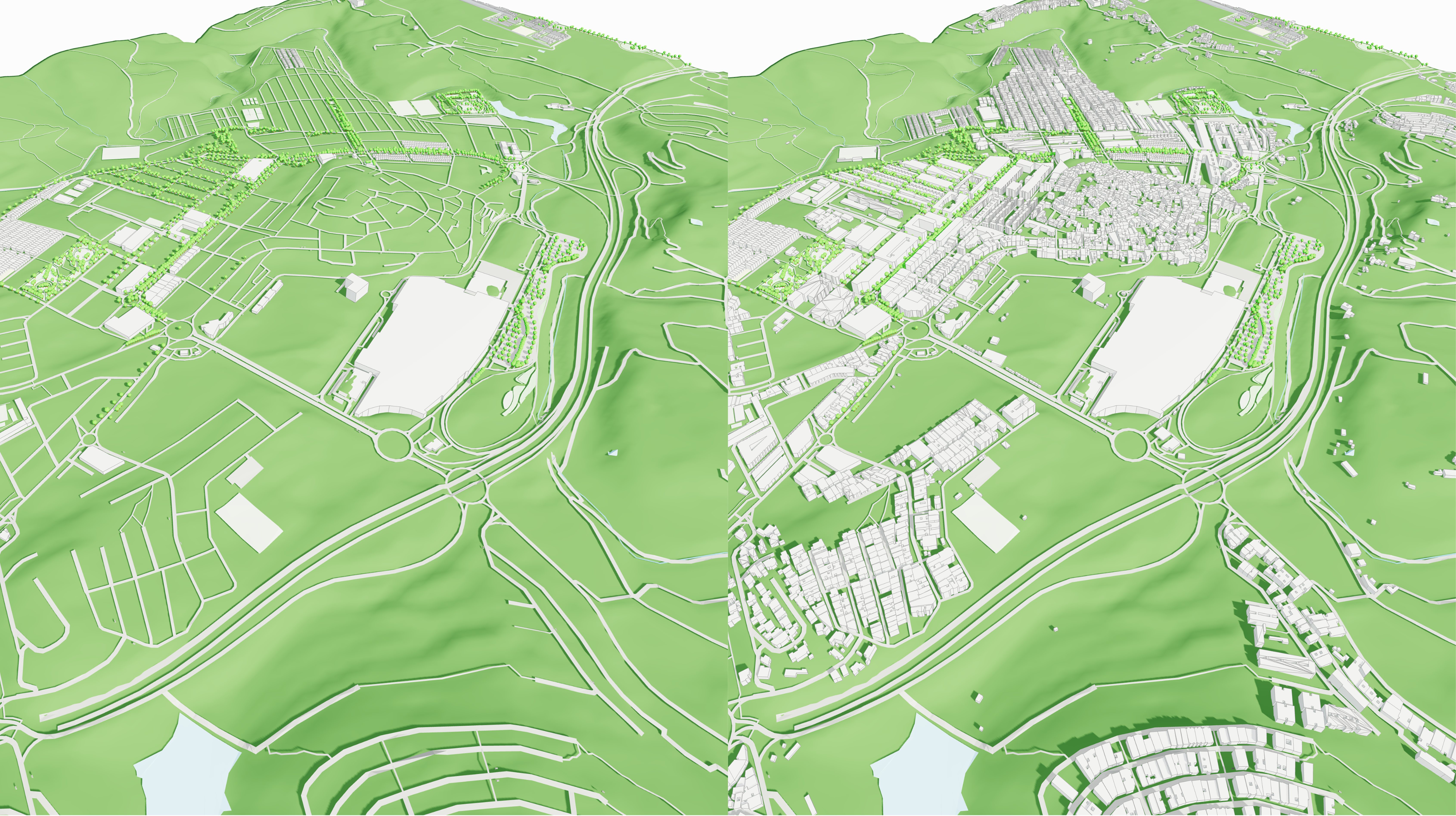
Cityweft provides a nationwide dataset of 3D building heights for England based on high-precision airborne LiDAR data collected by the UK Department for Environment, Food & Rural Affairs (DEFRA) between 2022 and 2025. Building heights are measured from real elevation data, not inferred estimates. Coverage includes urban and rural areas and supports architectural design, urban planning, environmental analysis, and simulation via Cityweft’s platform, plugins, and API.

Czytaj więcej
7 sty 20263 min. czytania

Data Update Denmark 🇩🇰: New National LiDAR Building Data

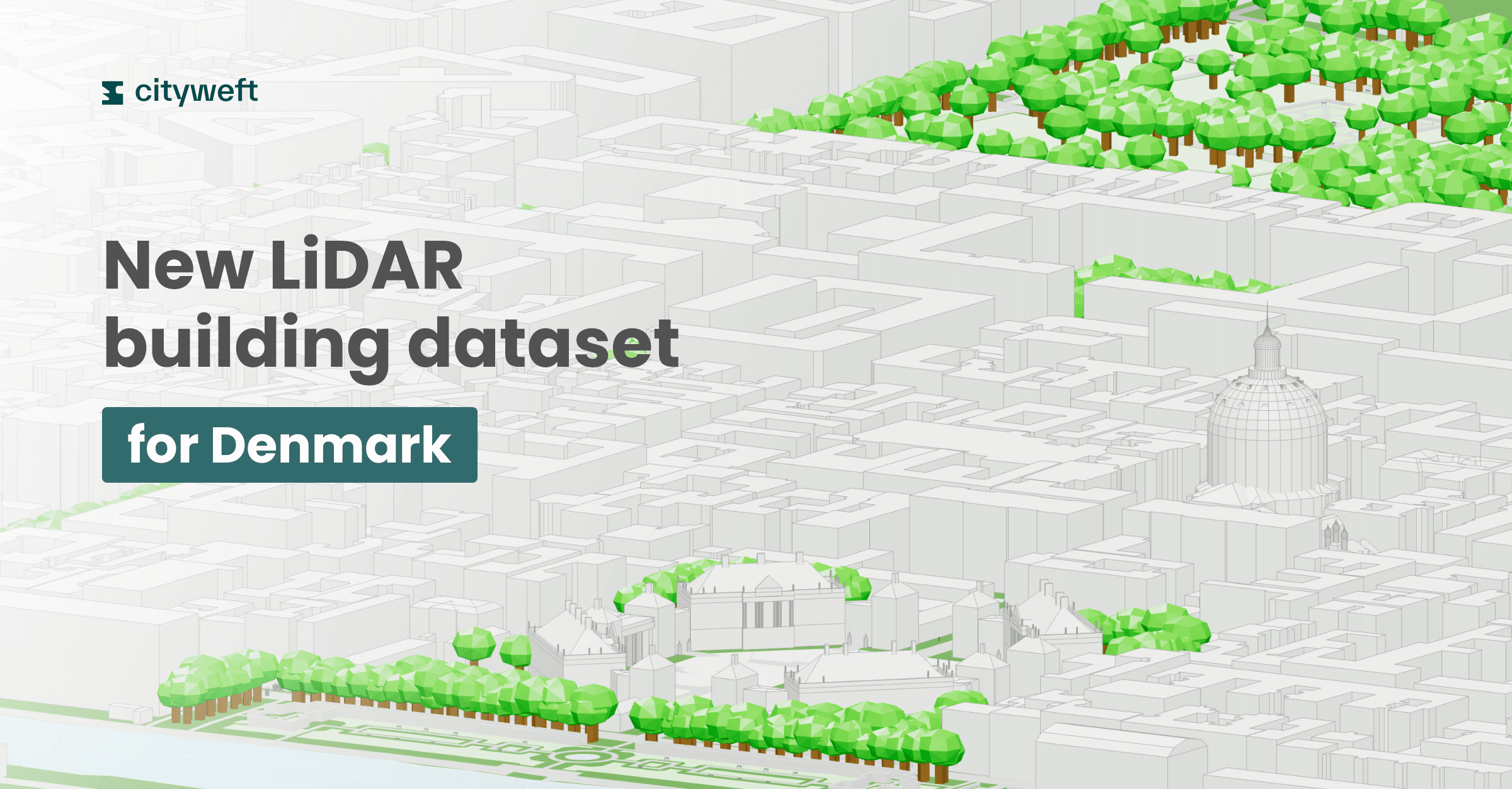
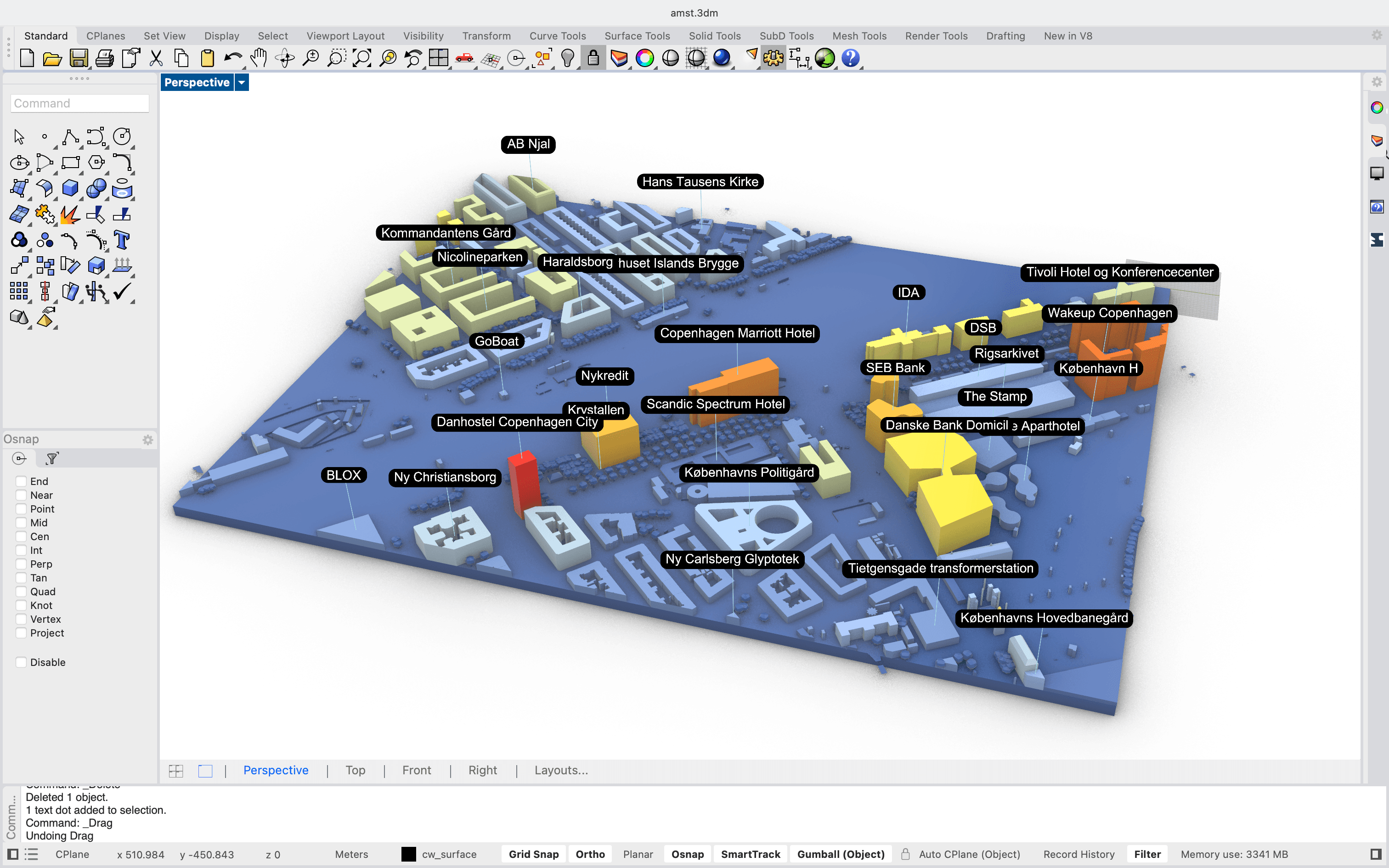
Cityweft provides a nationwide dataset of 3D building heights for England based on high-precision airborne LiDAR data collected by the UK Department for Environment, Food & Rural Affairs (DEFRA) between 2022 and 2025. Building heights are measured from real elevation data, not inferred estimates. Coverage includes urban and rural areas and supports architectural design, urban planning, environmental analysis, and simulation via Cityweft’s platform, plugins, and API.

Czytaj więcej
22 gru 20255 min. czytania

Cityweft vs. OSM-Based 3D Models

Looking for an alternative to OSM-based 3D city models? Cityweft is built for architects who need complete, exportable 3D site context —with building heights, roofs, terrain, and richer datasets than OpenStreetMap alone. It’s the fastest way to go from open data to a usable 3D city model for design . Try Cityweft → From Open Data to Complete City Context Architects use 3D city models to make decisions about massing, height, daylight, views, and urban fit. Those decisions depend on how...

Czytaj więcej
16 gru 20254 min. czytania

Advanced workflows with the Cityweft Rhino & Grasshopper plugin

Diving into advanced workflows using Cityweft's Grasshopper plugin for Rhino

Czytaj więcej
15 gru 20252 min. czytania

LiDAR-based 3D Building Data for England 🏴󠁧󠁢󠁥󠁮󠁧󠁿

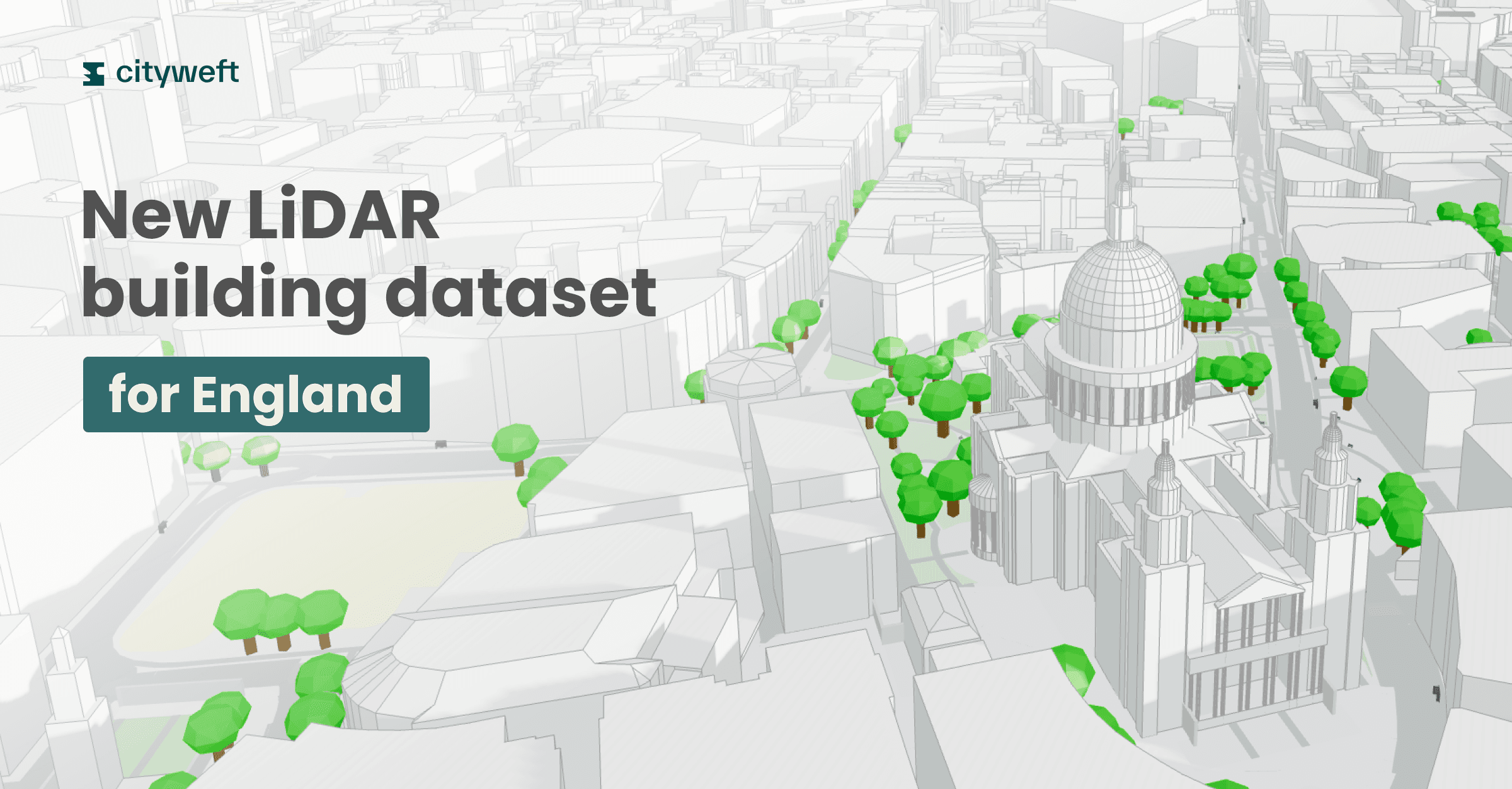
Cityweft provides a nationwide dataset of 3D building heights for England based on high-precision airborne LiDAR data collected by the UK Department for Environment, Food & Rural Affairs (DEFRA) between 2022 and 2025. Building heights are measured from real elevation data, not inferred estimates. Coverage includes urban and rural areas and supports architectural design, urban planning, environmental analysis, and simulation via Cityweft’s platform, plugins, and API.

Czytaj więcej
3 gru 20252 min. czytania

Switzerland 3D Building Data (swisstopo LOD2) | Cityweft🇨🇭

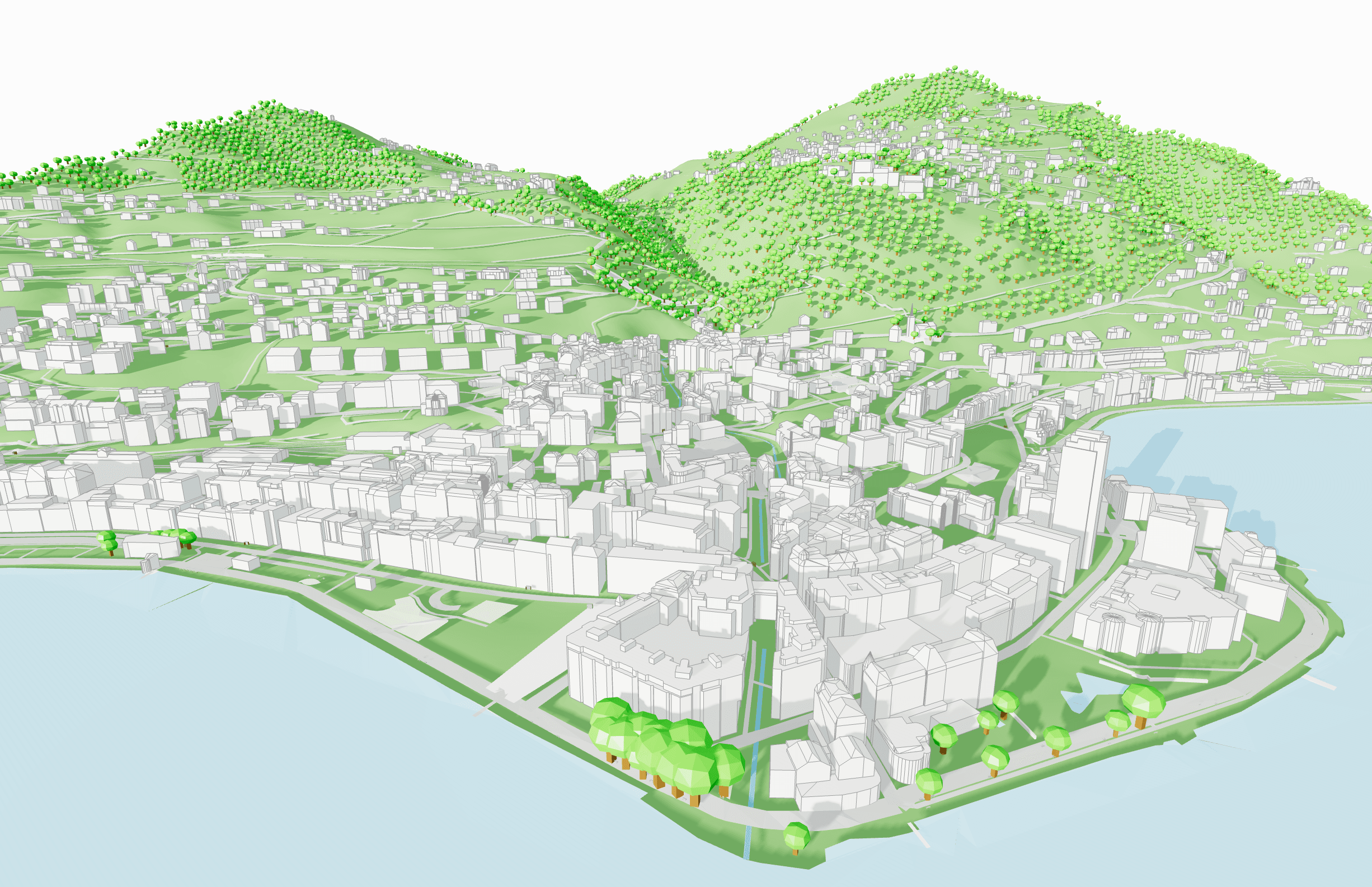
Cityweft now includes swisstopo’s full 3D LOD2 building dataset, delivering detailed, high-accuracy models across Switzerland. Enjoy richer roof geometries, improved urban context, and more precise analysis for design, planning, and visualization. The data is available on the platform, plugins, and API for a seamless, high-fidelity workflow nationwide.

Czytaj więcej
2 paź 20252 min. czytania

Cityweft API Brings The Best Global Site Data To Podium.io

We’re excited to share our new collaboration with Podium.io , who have recently integrated the Cityweft API into their platform. This...

Czytaj więcej
29 wrz 20253 min. czytania

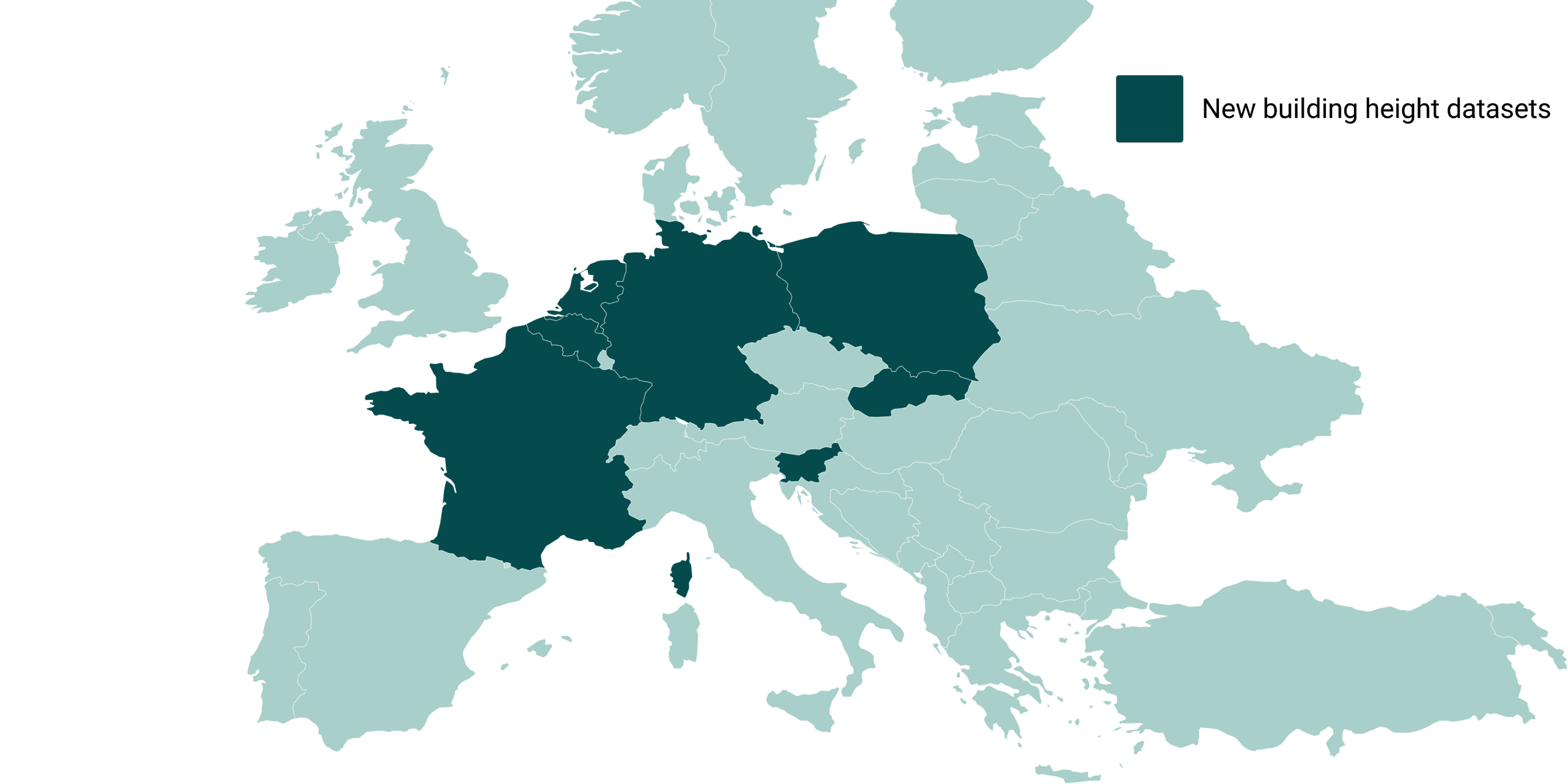
26/09/25 Update: New Local Building Data for Central Europe!

We’re excited to announce the latest update to our data sources, bringing in a wealth of localized, high-quality building data from...

Czytaj więcej
9 wrz 20252 min. czytania

08/09/25 Update: Real-World Shadows, Landmark Models, and New Pricing Bundle

At Cityweft, we’re constantly evolving to make working with 3D city models faster, smarter, and more useful in real-world design...

Czytaj więcej
8 wrz 20254 min. czytania

Where to Get Global 3D City Models with Buildings, Topography, and Infrastructure for CAD/BIM Workflows

Introduction Architects, planners, and designers often need detailed 3D city models that go beyond rough massing. Global coverage,...

Czytaj więcej
26 sie 20253 min. czytania

Cityweft at AEC Tech+ Barcelona: Real-World Context in Minutes

Earlier this summer, Cityweft partnered with the AEC Tech+ Hackathon in Barcelona , hosted by CORE studio at Thornton Tomasetti , McNeel...

Czytaj więcej
19 sie 20253 min. czytania

Cityweft Expands Free Access to High-Quality 3D City Models

Cityweft model of New York, rendered with Rhino/Enscape Over the past few months, the Cityweft platform has been growing at full speed....

Czytaj więcej
29 maj 20243 min. czytania

CADMAPPER vs Cityweft

High-quality cityscape 3D models are essential for accuracy and realism in urban modeling, city planning, and other areas. Cityweft...

Czytaj więcej
12 cze 20265 min. czytania

The Complete Guide to Site Analysis for Architects: Data Sources, Mapping Tools, and Workflows

The Complete Guide to Site Analysis for Architects: Data Sources, Mapping Tools, and Workflows Before the first sketch, render, or massing model comes the site. Every successful architectural project begins with understanding its context: terrain, climate, infrastructure, regulations, neighboring buildings, circulation patterns, environmental conditions, and physical constraints. Historically, site analysis relied on surveys, field visits, maps, and local expertise.

Czytaj więcej
12 cze 20266 min. czytania

The Complete Guide to 3D Site Context for Architecture: Data Sources, Workflows, and Tools

The Complete Guide to 3D Site Context for Architecture: Data Sources, Workflows, and Tools Architects spend countless hours assembling site context before they can begin designing. Building footprints come from one source, terrain from another, roads from a third, and then everything must be cleaned, georeferenced, and imported into Rhino, Revit, SketchUp, or another design tool.

Czytaj więcej
17 sie 20264 min. czytania

How to Get Accurate 3D Site Data Without Google Maps or a Drone Scan

Cityweft is a self-serve 3D city modelling platform that generates accurate, design-ready 3D site models for any location worldwide. Users select an area, choose data layers (building massing, trees, terrain, street furniture), and export in native formats including .skp, .rvt, .3dm, .dxf, .ifc, and .obj for use in Rhino, SketchUp, Revit, and AutoCAD. Exports take under a minute, versus days for manual drone scanning. Coverage spans 200+ countries; pricing starts from €30.

Czytaj więcej
21 sie 20264 min. czytania

Nine sites in twenty minutes. How we picked a development site in less than half an hour

You've got nine potential sites for your next residential development, and twenty minutes to pick the best one. Where do you start? If you're an architect, a property developer, or a city planner, this may be a familiar scenario. Project turnarounds are quick, access to proper 3D data is limited, and it's hard to narrow down the right site.

Czytaj więcej