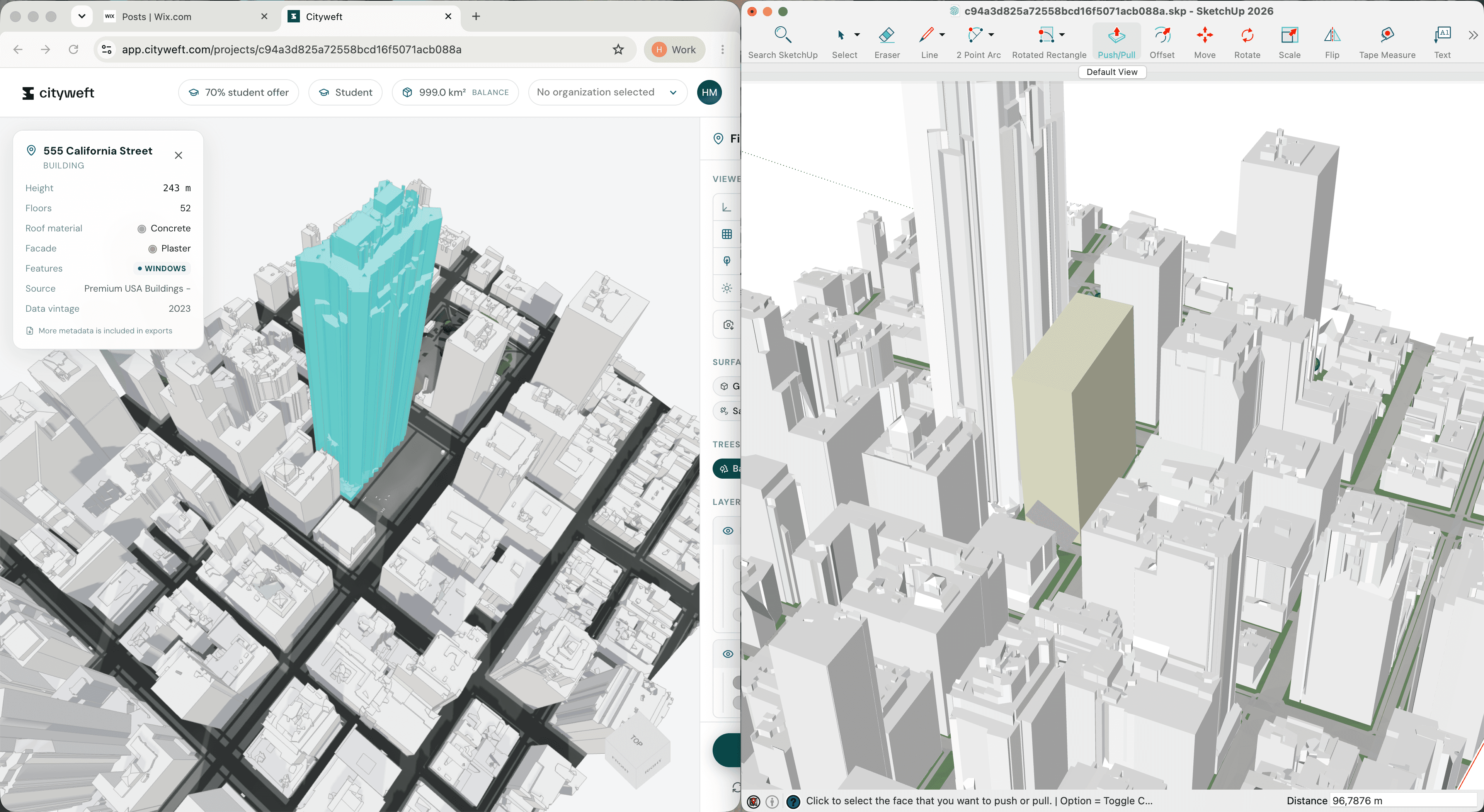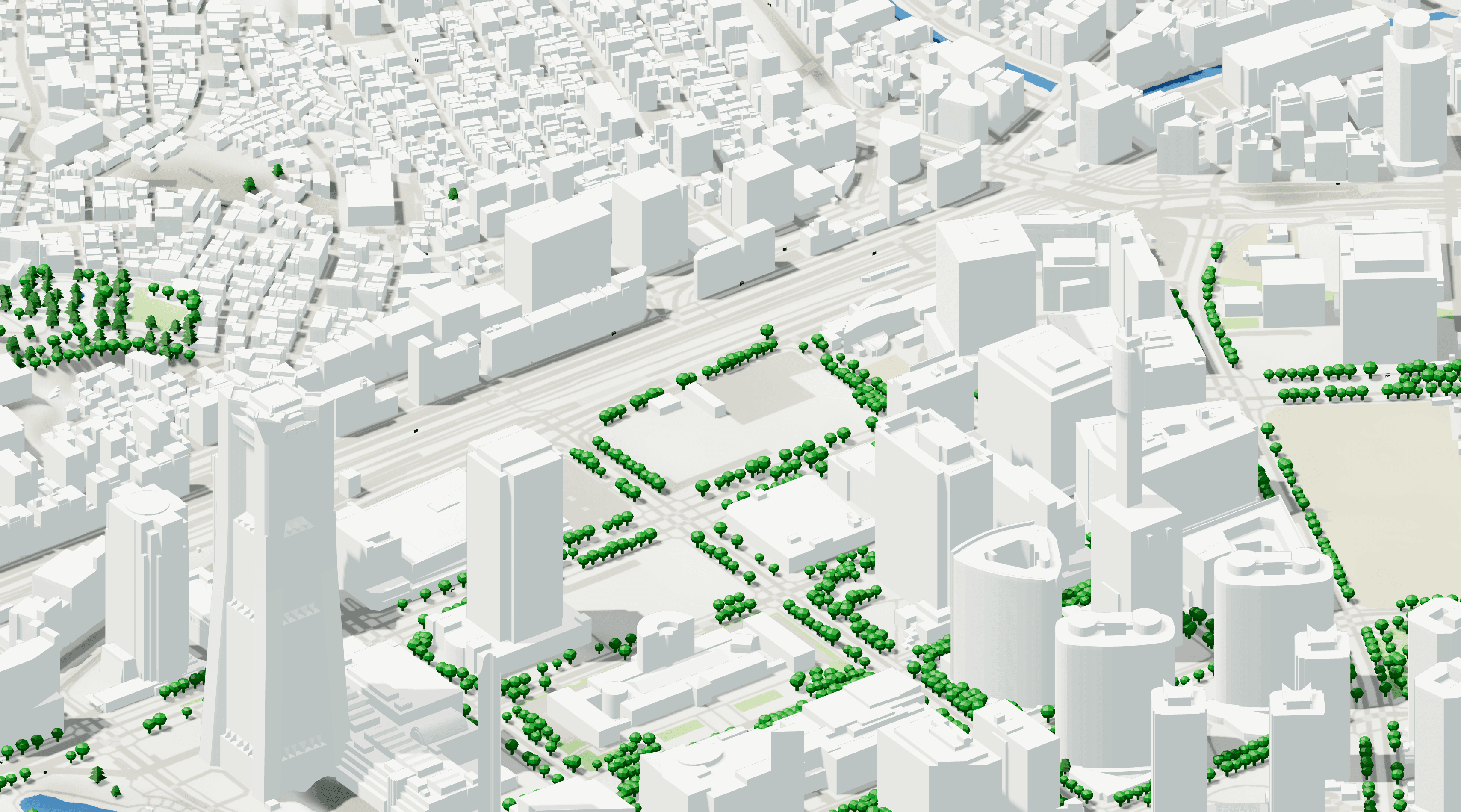
Cityweft models in QGIS: a complete GIS workflow
Cityweft has just upgraded its coordinate system options, and it's a pretty big deal for GIS work.
In this post we'll walk through the process of bringing Cityweft data into QGIS. But first, here's why we think this update might be a game changer for your GIS work. These aren't just our own assumptions, they come from conversations with our existing and prospective users, so you're not just taking our word for it.
Three reasons this matters for GIS
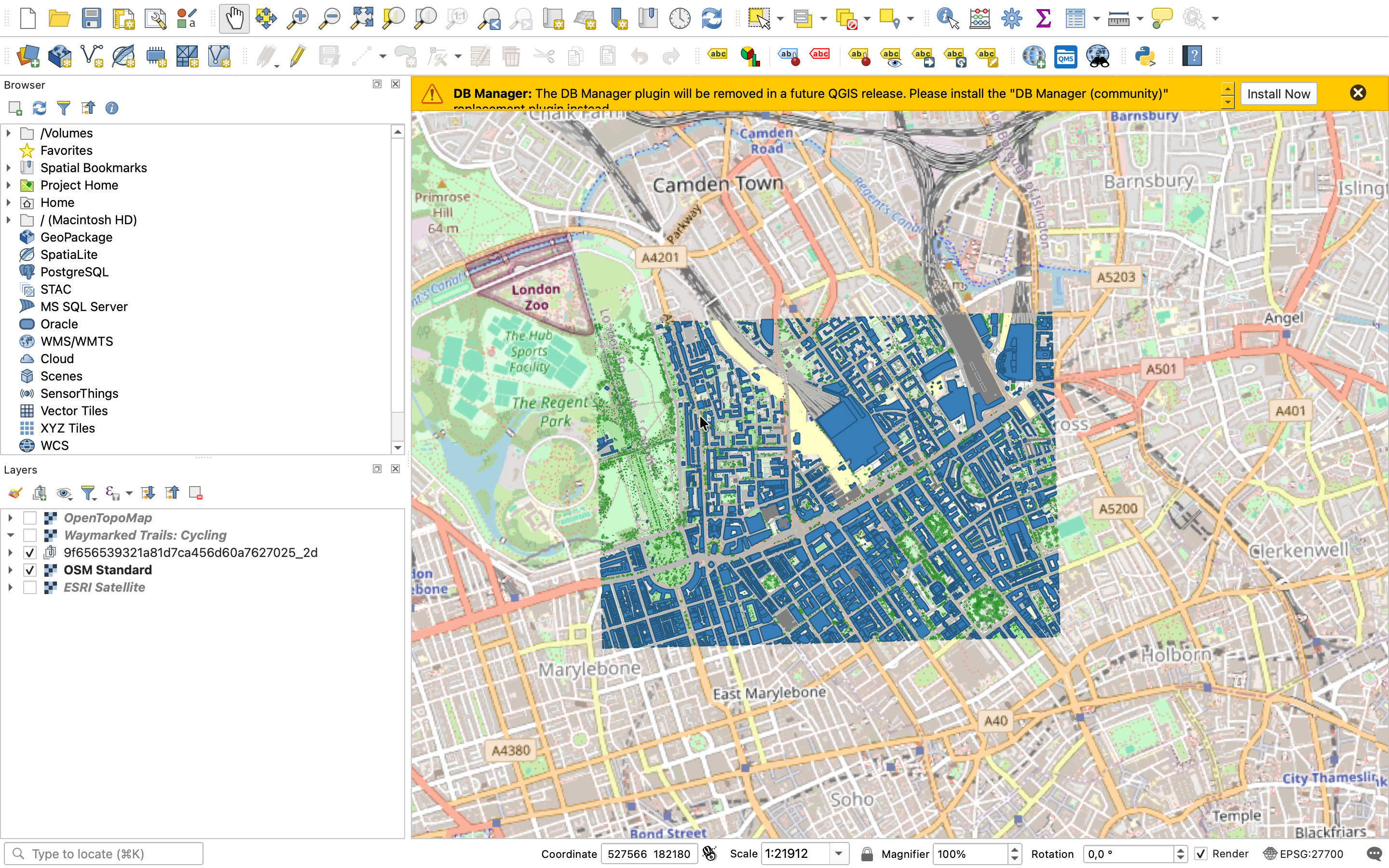
First, organisation. Cityweft models keep their layer organisation structure once they're inside QGIS. That means you can toggle off the layers you don't need and quickly find the ones you do. You can also easily edit naming conventions etc.
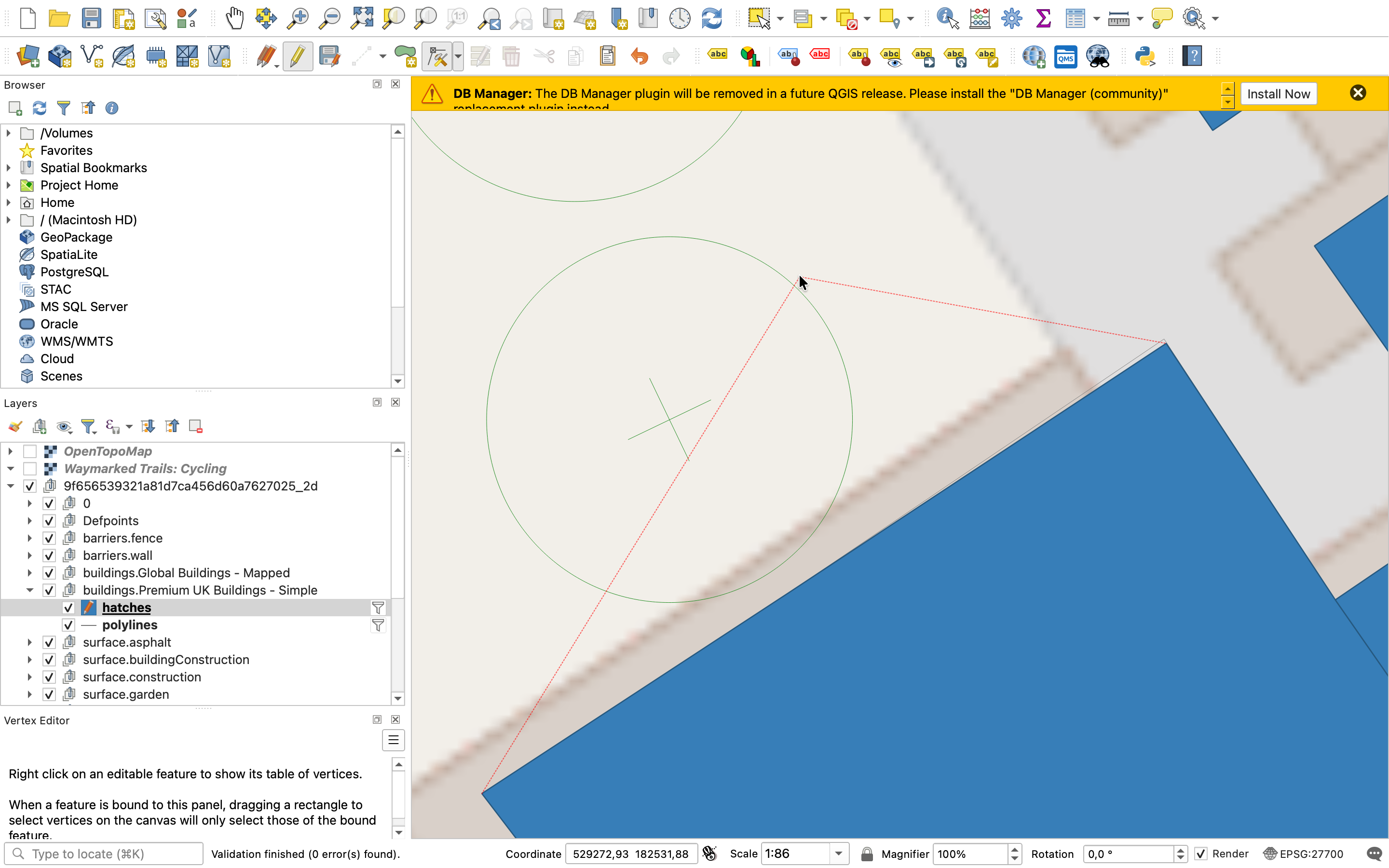
Then, editability. Cityweft data imports as polylines and hatches, so you can edit elements directly: change a layer's colour, remove individual pieces, or adjust geometry as you need.
Finally, flexibility. Cityweft lets you choose which coordinate system you're working in, so imports line up seamlessly with the rest of your project. We support over 4,800 coordinate systems; we'd be surprised if yours isn't on the list.
With the why out of the way, here's the workflow.
Exporting from Cityweft
Log in and find your site: Search for your location on the map, then draw a rectangle around the area you're working on.
Only take what you need: In this example, we don't need topography, so we can go straight to preview.
Review the model: Take a look at what's been generated, and toggle on precise trees if you want them included.
Check the layer structure: Before exporting, you'll see every layer named and grouped. This is the structure that will carry through into QGIS.
Export as DXF. Click Export, then choose DXF.
Choose 2D. For QGIS work, the 2D data is the easiest starting point. (You can always come back for the 3D version later if you need it for another use case.)
Choose your coordinate system. By default, Cityweft shows you systems for the country you're previewing, but you can search the full list by name if you need something else.
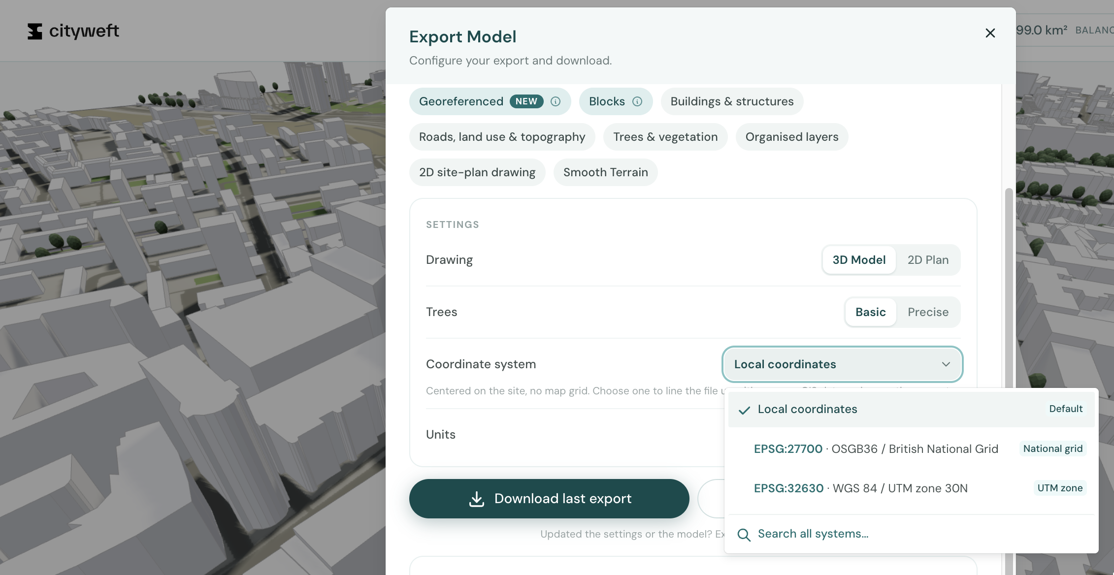
Choose real world position. Since we're working in QGIS, this keeps the model correctly placed.
Export your model.
Importing into QGIS
Start a new project. Set it up however you normally would, but try to choose a template that’s already in the CRS that matches the Cityweft download.
Double-check your CRS. Look at the bottom-right corner of QGIS to confirm you're working in the right system before you go any further.
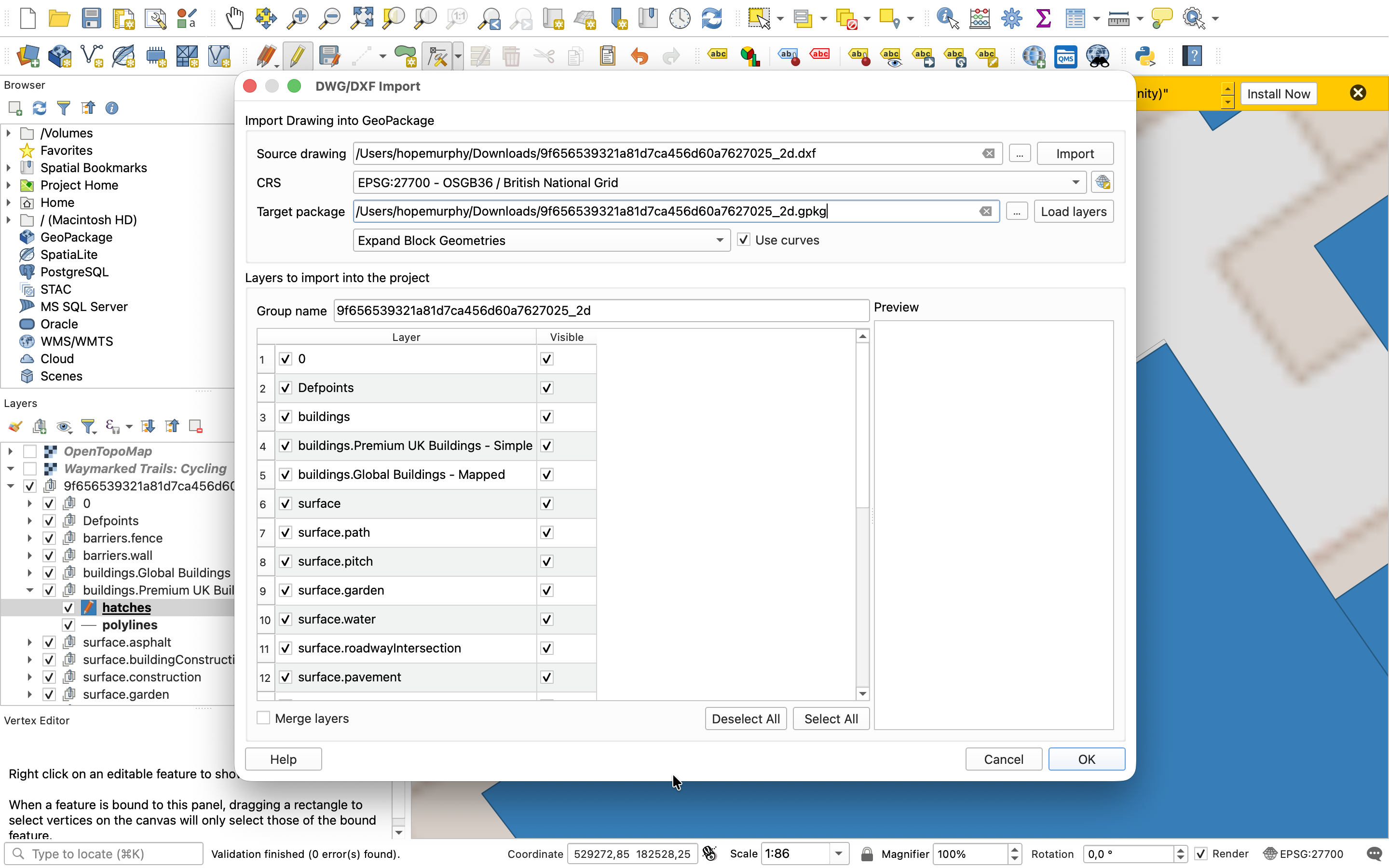
Import the file. Go to Project → Import/Export → Import Layers from DWG/DXF, and select the model you just downloaded, and click import
Select your layers. Processing takes a minute, after which you'll see the same layers from the Cityweft preview. Choose the ones you want and click ok.
Editing the model
Since each layer is made up of hatches and polylines, editing is straightforward. Adjust individual elements just as you would with any other vector layer in QGIS.
Combining data; the real beauty of QGIS
Now, this is where it all comes together, layering data. Use the QuickMap Services plugin or your own data and load in whatever else your project needs. In this example, we've added OpenStreetMap to expand the base content, then overlaid the National Cycle Network to support transport planning.
Because everything is in the correct coordinate system, the layers align exactly, and we’re confident that it’s all accurate.
And it doesn't have to stop there. Keep adding whatever your project calls for: land use, protected areas, other boundaries. It all lines up the same way.
Got questions about using Cityweft for GIS work? Send us a message, or comment on this post.