
3D city models for Norway
Accurate 3D buildings and 1 m topography across Norway, drawn from Kartverket's national datasets.
- 1 m topography
- Kartverket FKB + national DTM
- 10+ export formats
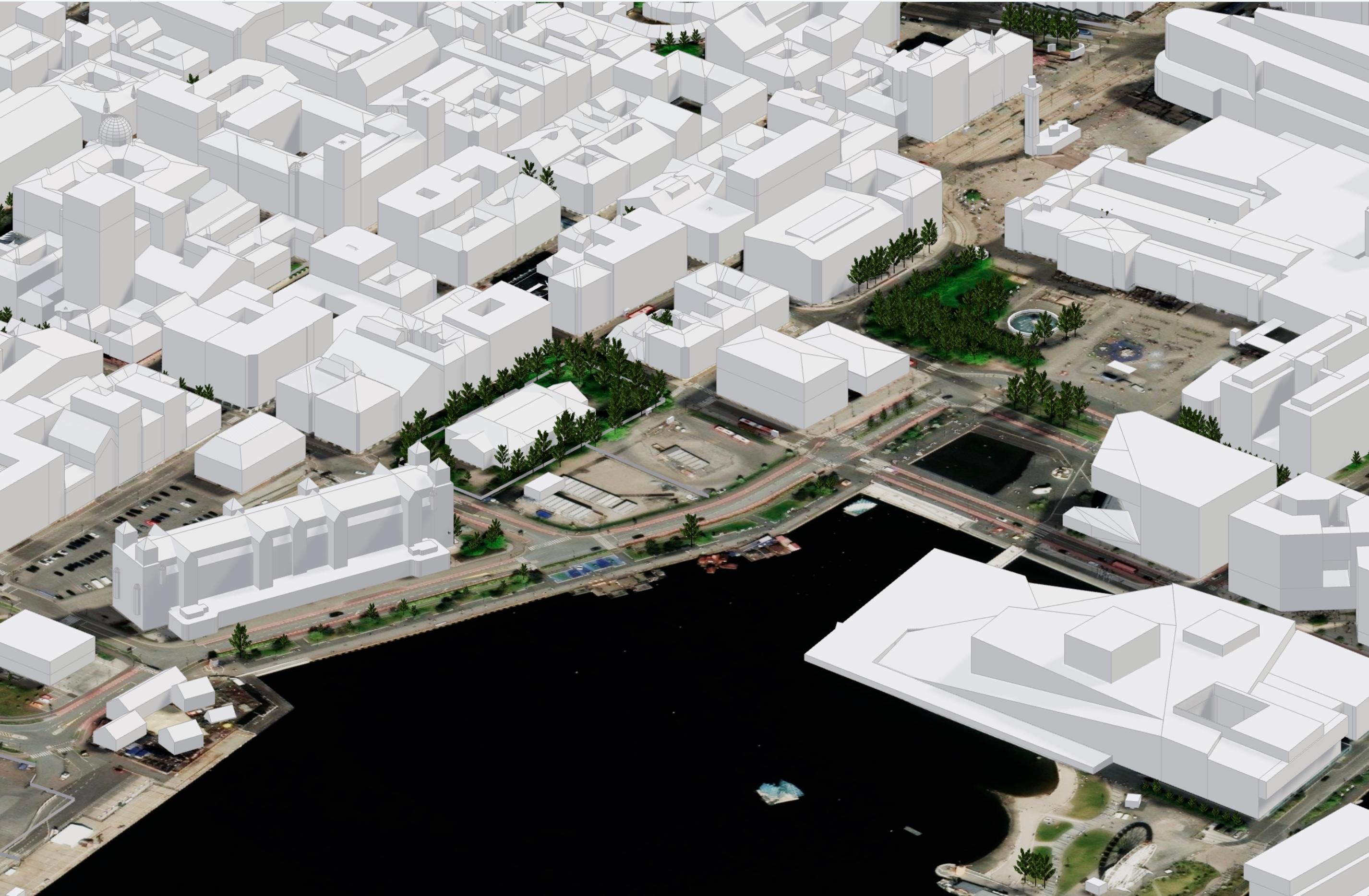
Topography
1 m
per pixel
Buildings
LOD 1-2
heights, roofs, footprints
Formats
10+
RVT · 3DM · SKP · IFC · GLB
Sources
National
authoritative datasets
Everything you need to drop Norway into your design tool.
The same dataset that powers our Revit, Rhino, SketchUp, and Autodesk Forma integrations — exported in whichever format your tool reads.
- Editable LoD2 buildings — real heights, roof shapes, and metadata
- National-survey topography at 1 m resolution
- Surface materials, terrain and instances on separate layers
- 10+ export formats: RVT, 3DM, SKP, IFC, GLB, DXF, and more
- Real-world coordinates and true north preserved on every export
- Drops cleanly into Revit, Rhino, SketchUp, Forma, and any CAD/BIM tool
Detailed 3D models of every major city in Norway.
Coverage is nationwide, at the same data quality everywhere — these are just the metropolitan areas teams export most often.
- Oslo
- Bergen
- Trondheim
- Stavanger
- Drammen
- Fredrikstad
- Kristiansand
- Sandnes
- Tromsø
- Sarpsborg
- Skien
- Ålesund
- + every other town and locality across Norway
Built on authoritative data
Kartverket FKB + national DTM, processed for design.
Cityweft's pipeline turns these raw national datasets into clean, design-ready 3D geometry — heights, roof shapes, topography, surface and instance layers all aligned to true coordinates.
Refreshed as upstream sources update. The same data flows into our Revit export, the Rhino and SketchUp plugins, Autodesk Forma, and the REST API.
Export your first Norway site in under a minute.
Pick a location, choose your format, drop the file into Revit, Rhino, SketchUp, Forma, or any other CAD/BIM tool. Free preview, no install required.