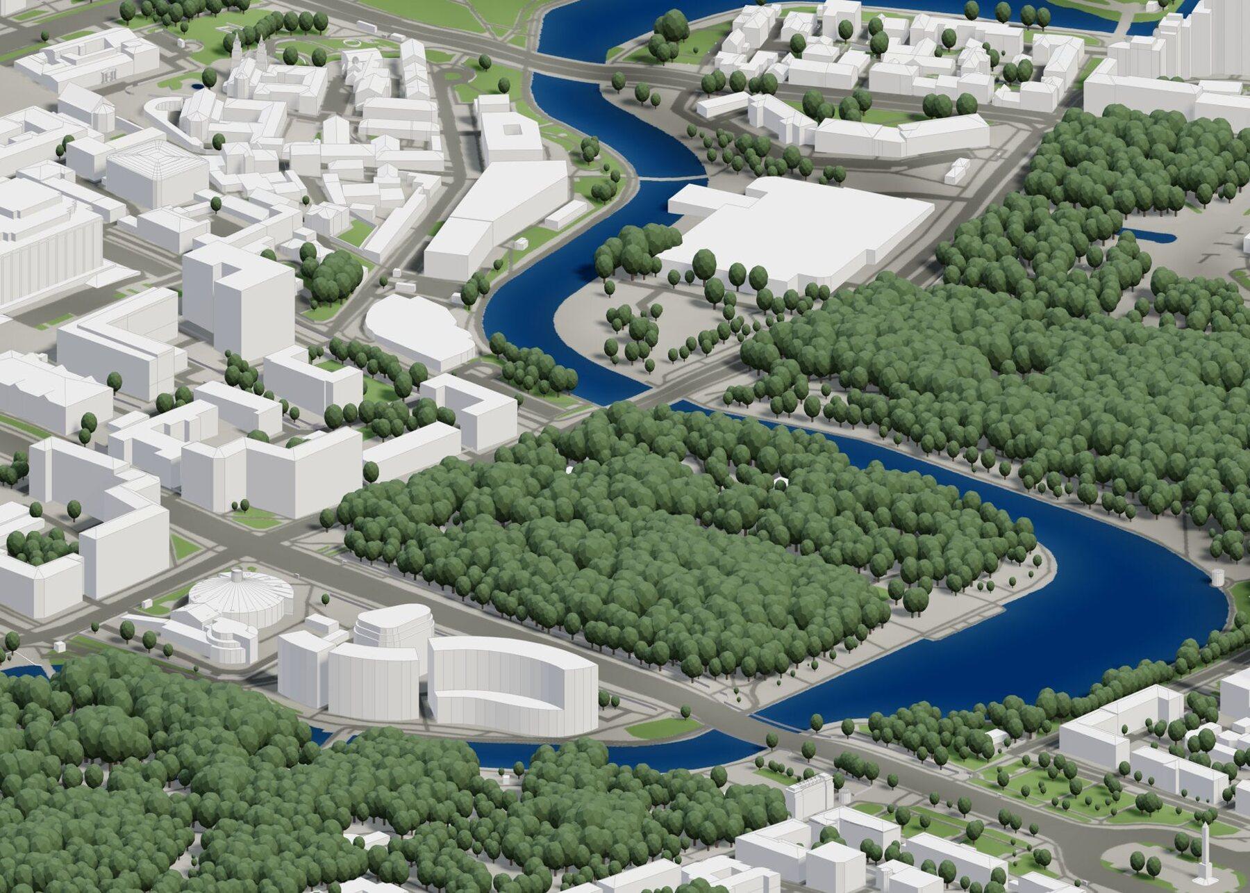
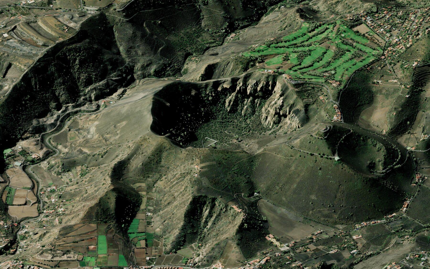
We blend thousands of datasets from around the world to generate the highest fidelity data anywhere you are working.
Countries covered
200+
Buildings indexed
3B+
Datasets blended
1,000+
Topography up to
1 m
Premium-tier countries
In these countries we serve national 3D building data — true roof shapes, verified heights and the sharpest terrain available. Everywhere else you still get worldwide coverage.
Every export ships terrain, surfaces, vegetation and instances as separate, editable layers — all aligned to real-world coordinates.
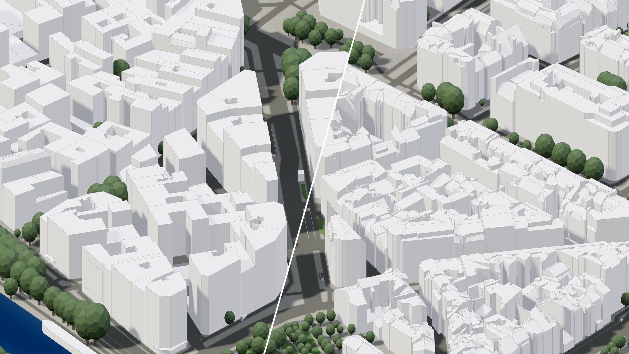
Global BuildingsPremium Buildings
Two tiers of building data
Global Buildings
Worldwide coverage from open data, refined and quality-graded so you know exactly what you're getting.
Premium Buildings
Authoritative national cadastres + high-fidelity 3D — heights, roof shapes, footprints all verified.
High-precision trees, everywhere
Individually detected trees with real positions, heights and canopy sizes — worldwide, not only in premium countries.
Included with Business, an add-on on other plans.
Terrain up to 1 m
National survey elevation models where they exist, quality global data everywhere else — with satellite imagery draped on top.
Surfaces
Paving, green areas and water as separate meshes
Instances
Street furniture, poles and other repeated objects
Barriers
Walls, fences and retaining structures
Infrastructure
Roads, rail and bridges
Covered everywhere else, too.
Outside the premium tier you still get building data, terrain and layers everywhere on Earth.
Spinning up the globe…
Hover any country to inspect its coverage
Georeferenced exports
Every model lands exactly where it belongs.
On any plan, exports to Rhino, SketchUp, IFC and Revit carry the model's real-world position and true north — open the file and the site is already in place. Advanced Geolocation extends every format with coordinate-system selection and real grid coordinates.
6,000+ coordinate systems
Your country's national grid and the site's UTM zone recommended per project, with every projected EPSG system a search away.
Real-world placement
Keep the model at the origin with its map position stored, or write true grid coordinates straight into the file for GIS workflows.
Millimetre-consistent
Exports in the same coordinate system line up exactly — with each other and with your survey, map and GIS data.
Advanced Geolocation is included with Small Business and Business — an add-on on Professional.
Generate your first model today.
Draw an area anywhere in the world, preview the model in minutes, and export design-ready files in 10+ formats.

 Global BuildingsPremium Buildings