How to choose a development site in 20 minutes: a 9-site case study with Cityweft and SketchUp
Summary: An architecture team evaluated nine potential residential development sites across Seattle and San Francisco in 19 minutes using Cityweft, a 3D city modelling platform, alongside SketchUp. The goal was to find a site with enough buildable area for a ~100,000m² residential project. Five of the nine sites were ruled out once viewed in 3D — including two where satellite imagery and Google Maps were out of date and didn't reflect existing buildings or land use on site. Only one site, in central Seattle, had enough buildable area for the brief.
Why site selection is hard without 3D data
Architects, property developers, and city planners are often asked to shortlist development sites quickly, without access to detailed 3D data. A plot can look ideal in a 2D plan or on Google Maps, but three things routinely get missed until it's too late:
Terrain changes — slopes and level changes that add cost and complexity
Existing vegetation — trees or landscaping that restrict the buildable footprint
Neighbouring building heights — context that determines how tall a new building can realistically go
A fourth, less obvious problem: map data itself can be out of date. Google Maps and Google Earth satellite imagery are not updated in real time. New buildings, demolitions, and construction can take months or even years to appear — meaning a site that looks empty on Google Maps may not be empty at all, and a site that looks like an existing building may already be scheduled for demolition. This case study ran into that problem twice.
The method
The team set a timer and worked through nine candidate sites using this process:
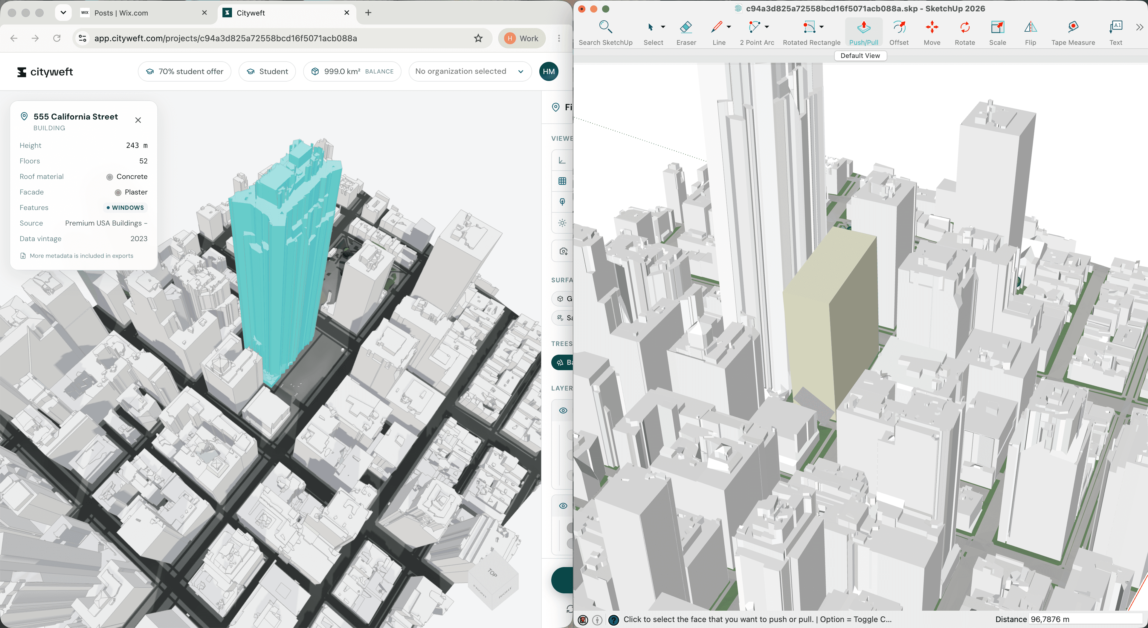
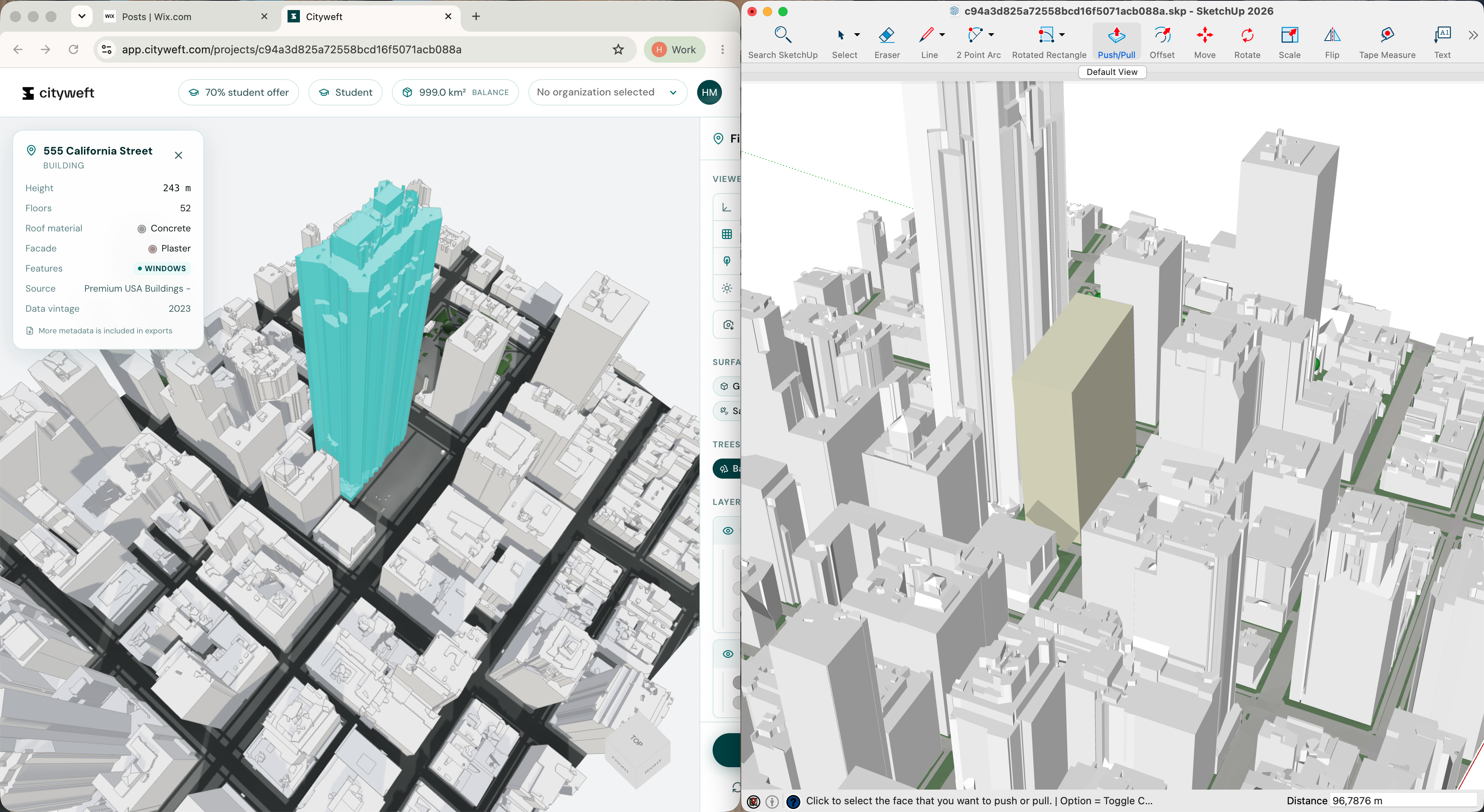
Preview each site in Cityweft, with topography switched on, to check terrain and existing structures against current 3D data (not just the satellite image)
Bring promising sites into SketchUp for a closer look
Draw a rough massing block over the buildable area and estimate height based on neighbouring buildings
Multiply area by estimated storeys to get a rough buildable floor area
Log the result in a spreadsheet and move to the next site
Site
Location
Outcome
Reasoning
1
Adler Street, Seattle
Discarded (adjacent plot used instead)
Site itself already had buildings not shown on Google Maps; the empty plot next door was used instead — approx. 5,300m², 17m height, 3–4 storeys
2
Seattle, Industrial
Discarded
Apparent empty space was actually car parking; remaining land sat beside an industrial unit
3
Central Seattle (corner plot)
Selected
Two buildings scheduled for demolition; tall neighbouring buildings supported a higher-rise estimate; only site with enough buildable area for the 100,000m² brief
4
First Hill, Seattle
Discarded
Small plot, low-rise surroundings, insufficient buildable area
5
San Francisco
Logged, not selected
Low-rise area, generously sized plot, but not enough area for the brief
6
San Francisco
Discarded
Significant terrain change across the site made it a non-starter
7-9
San Francisco
One logged, two discarded
Only one of the three held up once previewed in 3D
Result: 5 of 9 sites were not viable. Only Site 3 had enough buildable area for a 100,000m² residential development. Total time: 19 minutes.
Google Maps data lag: what this case study shows
Two separate sites in this exercise (Site 1 and Site 2) looked more promising in Google Maps than they actually were on the ground:
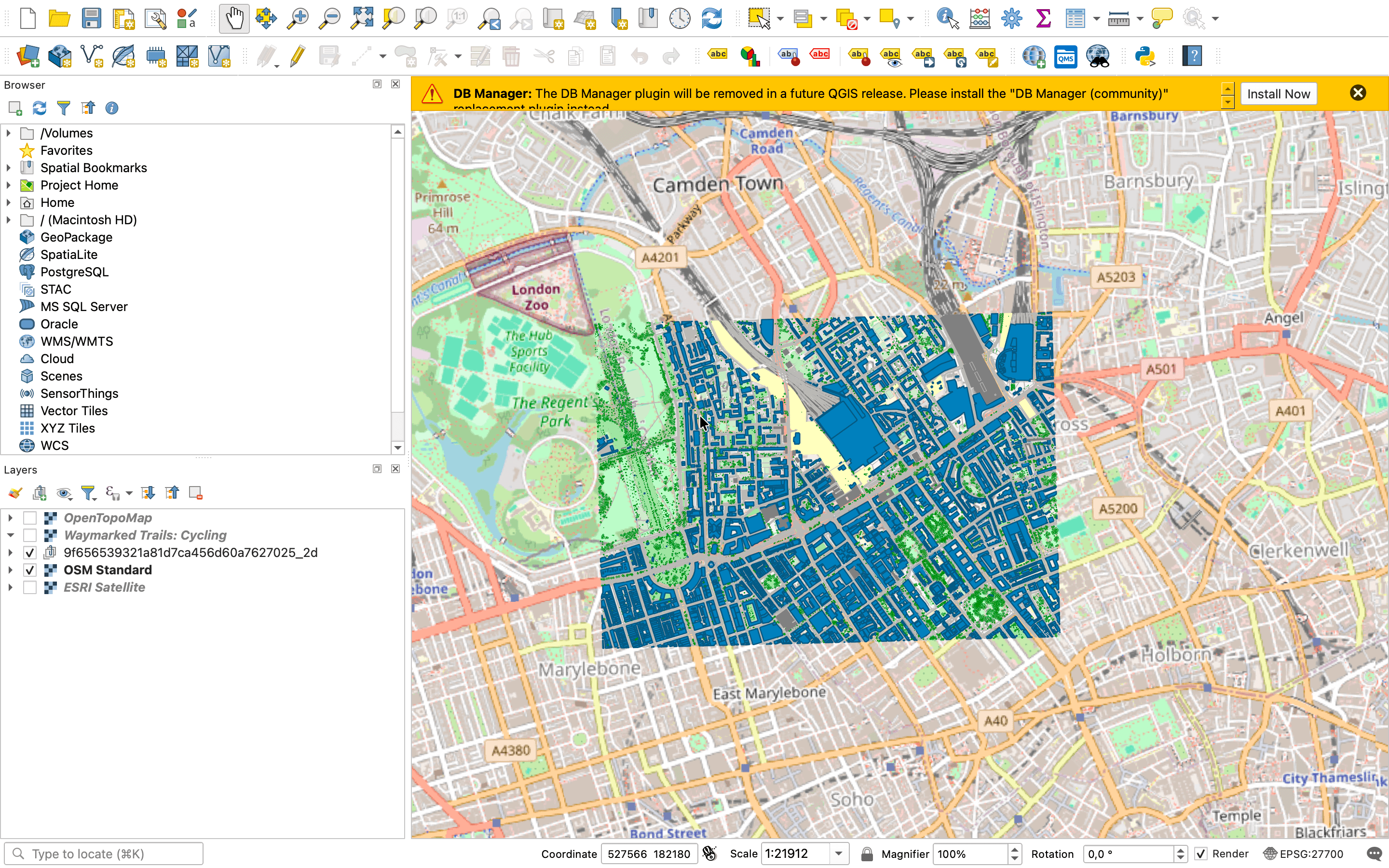
Site 1 appeared empty on Google Maps, but a live 3D preview in Cityweft showed buildings already standing on the site.
Site 2 appeared to have significant vacant land in plan view, but switching on satellite imagery revealed the space was occupied by car parking, not developable land.
This is a known limitation of relying on Google Maps or Google Earth alone for early-stage site selection: satellite and map imagery is refreshed on an irregular schedule and can lag behind real-world construction, demolition, and land-use changes by months or years. Cross-checking against current 3D geospatial data, rather than 2D maps alone, catches this before it costs time later in the process.
The takeaway
In under 20 minutes, the team narrowed nine sites down to one genuine contender, with a first-pass massing model ready to send to the client. Two of the nine sites would have looked viable on a 2D plan or Google Maps alone, and both turned out not to be. Evaluating sites in 3D — including current building footprints and topography — avoided wasted time on sites that wouldn't have worked.
FAQ
How long does it take to evaluate multiple development sites in 3D? In this case study, nine sites across two cities were evaluated in 19 minutes using Cityweft and SketchUp, including bringing the most promising sites into SketchUp for massing checks.
Why isn't Google Maps reliable for early-stage site selection? Google Maps and Google Earth satellite imagery isn't updated in real time. New buildings, demolitions, and land-use changes can take months or years to appear, so a site can look empty or vacant on Google Maps when it isn't, or vice versa.
What is Cityweft? Cityweft is a 3D city modelling platform that generates accurate, design-ready 3D models for any location, using current geospatial data including topography and building footprints. It integrates with tools like SketchUp, Rhino, and Revit.
How do you estimate buildable area on a potential development site? A common rough method is to draw a massing block over the site boundary in 3D, estimate height based on neighbouring building heights, and multiply the footprint area by the estimated number of storeys to get an approximate buildable floor area.
What factors most commonly rule out a development site? In this case study, sites were ruled out for: existing buildings not visible on Google Maps, land occupied by car parking rather than being genuinely vacant, insufficient buildable area relative to surrounding low-rise buildings, and significant terrain/level changes across the site.
Can Cityweft be used inside SketchUp? Yes. Cityweft has a SketchUp plugin, so 3D site data — including topography, building geometry, and surrounding context — can be brought directly into SketchUp for further modelling.
If you've got a stack of sites to run through yourself, head over to cityweft.com and give it a go — it plugs straight into SketchUp, so you can be doing exactly this within a few minutes.
Follow us on LinkedIn and Instagram — we'll be posting the full cost breakdown of this exercise in the next few days.